Tutor(s)
Art Saller: Independent Geological Consultant.
Overview
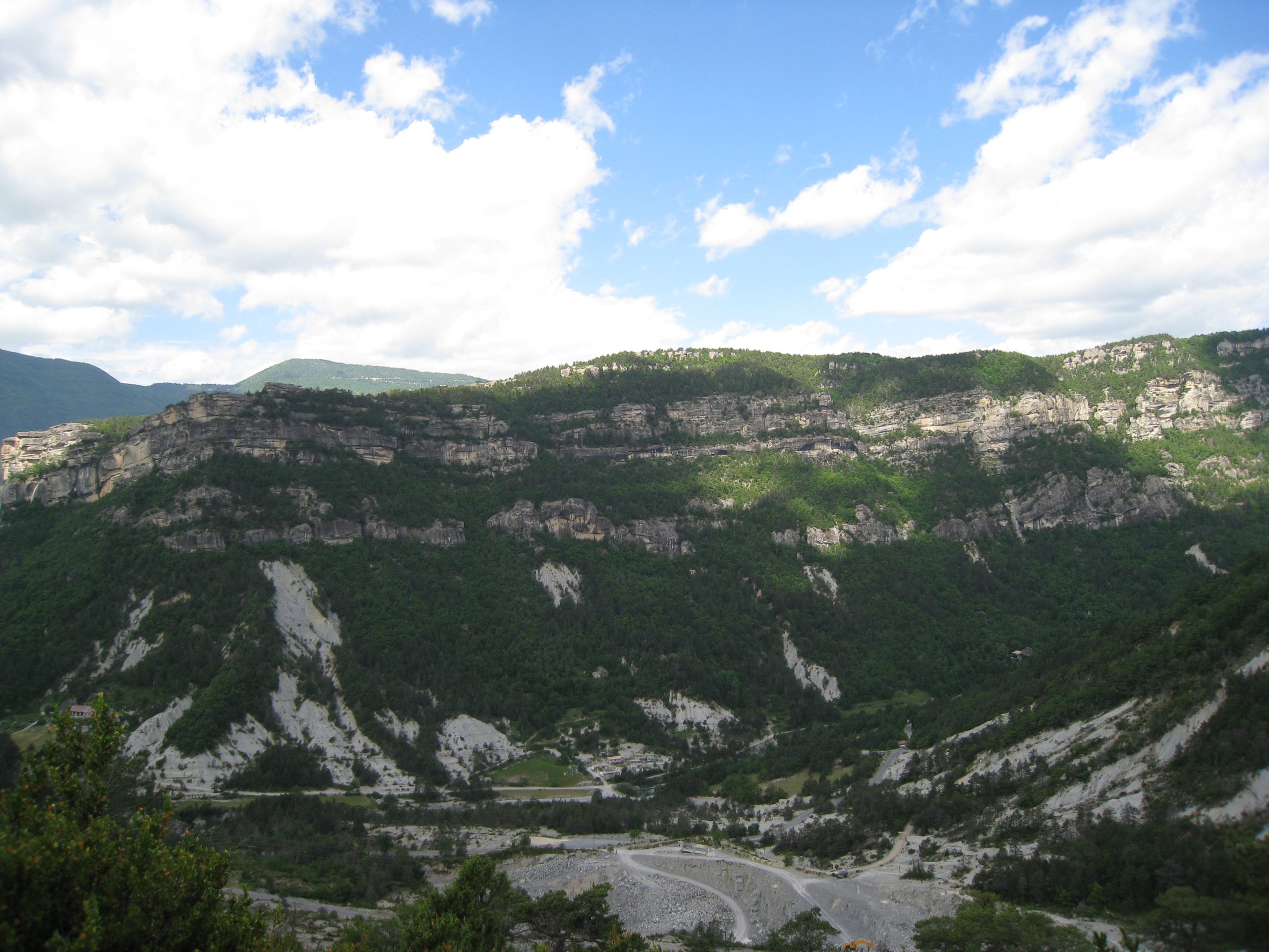
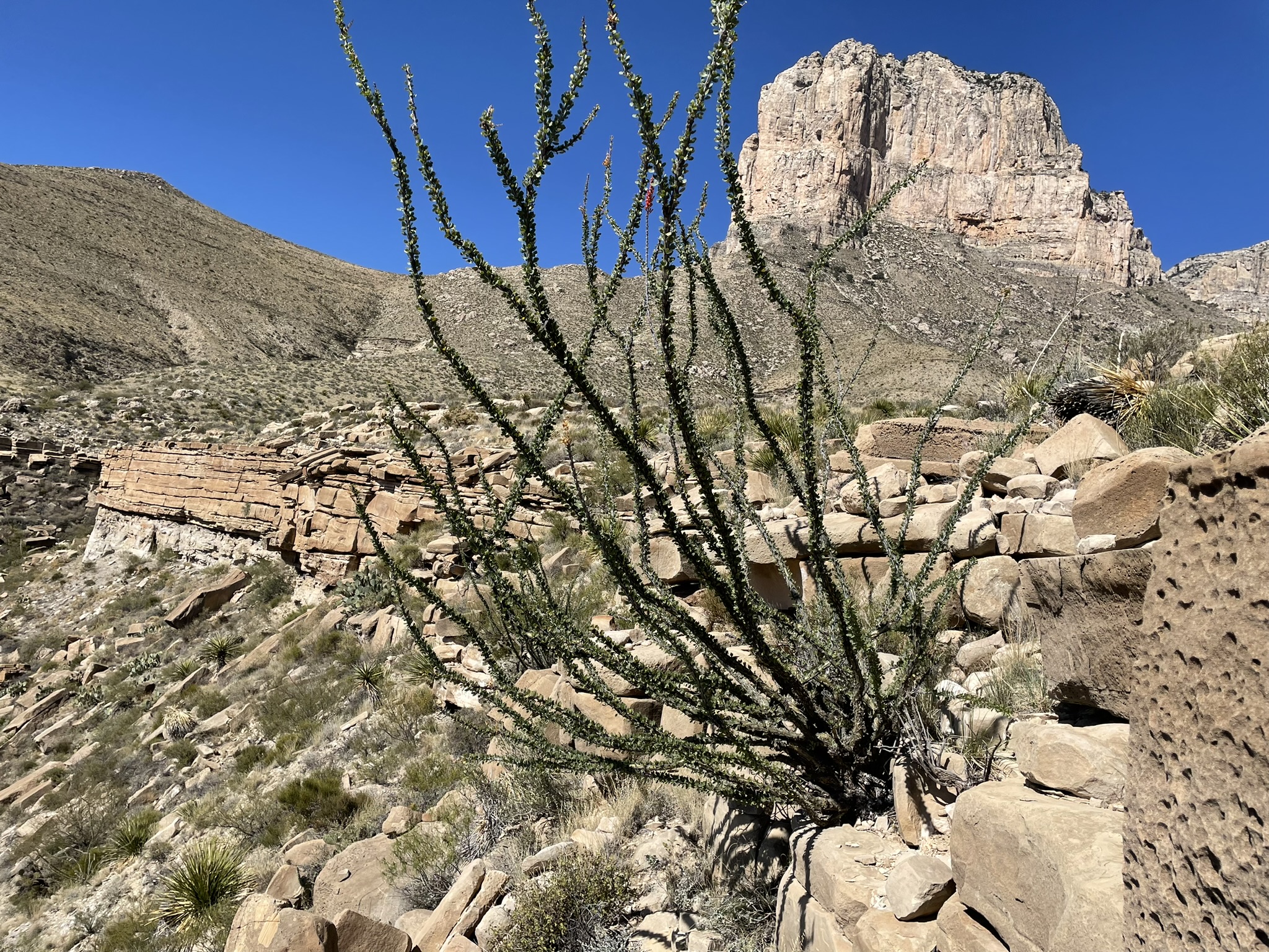
This field course is designed for geoscientists and engineers exploring and developing deepwater clastic reservoirs anywhere in the world. The course examines excellent (classic) exposures showing depositional facies and stratal geometries developed in deepwater slope and channel environments and their controls on reservoir presence, quality and production. Outcrop description and exercises with subsurface data are integrated into the course. Analog fields from West Africa, Gulf of America/Mexico, southeast Asia and the Permian Basin are discussed on outcrops.
Duration and Logistics
A 6-day field course beginning and ending in El Paso, Texas. Most training will take place through observation and discussion in the field.
Level and Audience
Advanced. The course is aimed at geoscientists, petrophysicists, reservoir engineers and production engineers working deepwater siliciclastic reservoirs. Basic principles are presented on the first morning to bring participants to a common level of understanding. Outcrop viewing, description and exercises will give even advanced level participants improved understanding of these systems.
Exertion Level
This class requires a DIFFICULT exertion level. The outcrops are in west Texas and southeast New Mexico, where the weather is arid with hot summers and cool winters. This trip is run in spring or fall when temperatures are more moderate, although hot, cold or wet weather is possible. Daily temperatures can range from 5–30°C (40–90°F). The course includes a hike of around 6 km/4 miles with an ascent of 400m (1300 ft), and shorter hikes, frequently over very steep and uneven ground. Transport on the course will be by coach. Most of the driving is on black-top roads, with some driving on graded dirt roads.
Objectives
You will learn to:
- Visualize the seismic-scale geometries of major slope channel systems including incised upper slope valleys, amalgamated mid-slope channel-complexes, and middle to lower slope channel-levee complexes for use in subsurface interpretation.
- Assemble a predictive model for those different sand geometries relative to slope position.
- Describe different deep-water (turbidite) facies and understand variations in their distribution and reservoir characteristics in different architectural elements (channel, levees, splays).
- Relate outcrop and core scale variations of deepwater sands to wireline log characteristics within channel complexes to help interpret facies in logs.
- Predict how turbidites and their characteristics change laterally which can be applied to static and dynamic reservoir models for appraisal and development.
- Assess thin turbidite sand beds and understand where they occur deep-water systems and how their continuity can vary from relatively limited areal continuity in levees to sheets in thin-bedded basin floor fans.
- Evaluate variation in grain size and lateral continuity of sand bodies, understand why they can cause large variations in permeability, production rates and oil recovery.
- Relate characteristic of outcrops to analogous oil fields along the West African margin, Gulf of America/Mexico, southeast Asia and the Permian Basin