World-class training for the modern energy industry

An Introduction to Geospatial Workflows (G510)

Tutor(s)

Richard Jones: Managing Director, Geospatial Research Ltd.

Overview

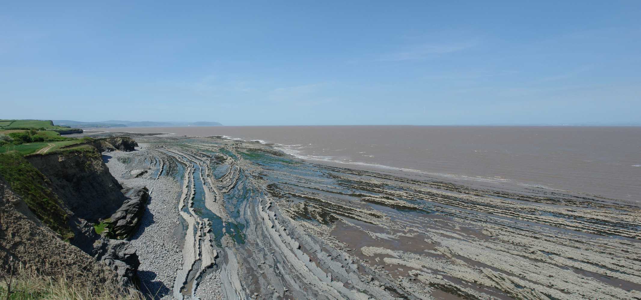
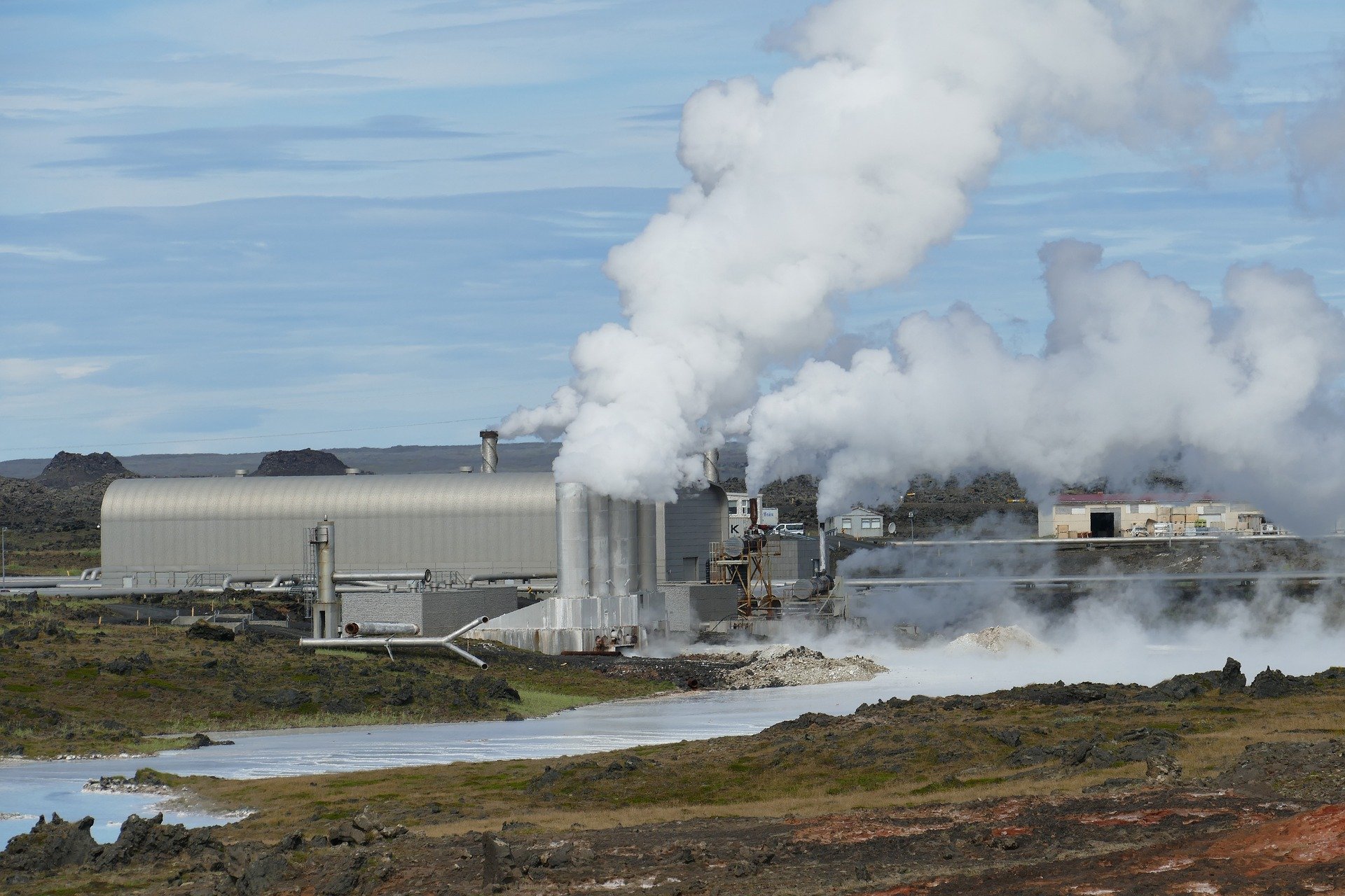
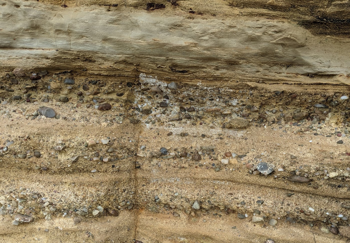
This course provides a broad overview of geoinformatics and the practical application of geospatial technologies to tackle key challenges of the GeoEnergy Transition.

Duration and Logistics

Classroom version: A 1.5-day course comprising a mix of lectures, case studies and exercises. The manual will be provided in digital format and participants will be required to bring a laptop or tablet computer to follow the lectures and exercises.

Virtual version: Three 3.5-hour interactive online sessions presented over 3 days. A digital manual and exercise materials will be distributed to participants before the course. Some reading and exercises are to be completed by participants off-line.

Level and Audience

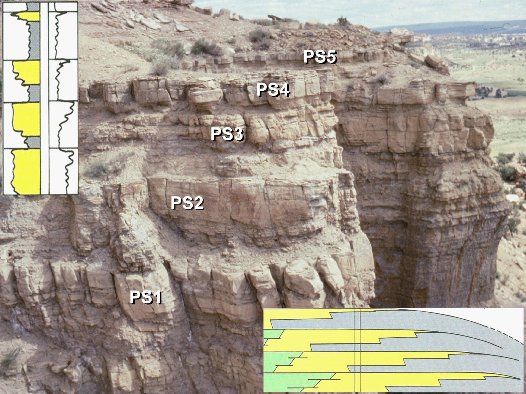
Fundamental. The course is intended for any geoscientists looking to increase their understanding and practical experience of spatial data and workflows.

Objectives

You will learn to:

  1. Recognise different types of spatial data, and how they can be represented and stored in Geographic Information Systems (GIS) and related software.
  2. Describe the pros and cons of 2-D and 3-D geospatial user interfaces as a primary way to organize and access data.
  3. Understand spatial resolution, precision and accuracy.
  4. Assess different approaches to evaluating spatial data, including geostatistics and geospatial analysis.
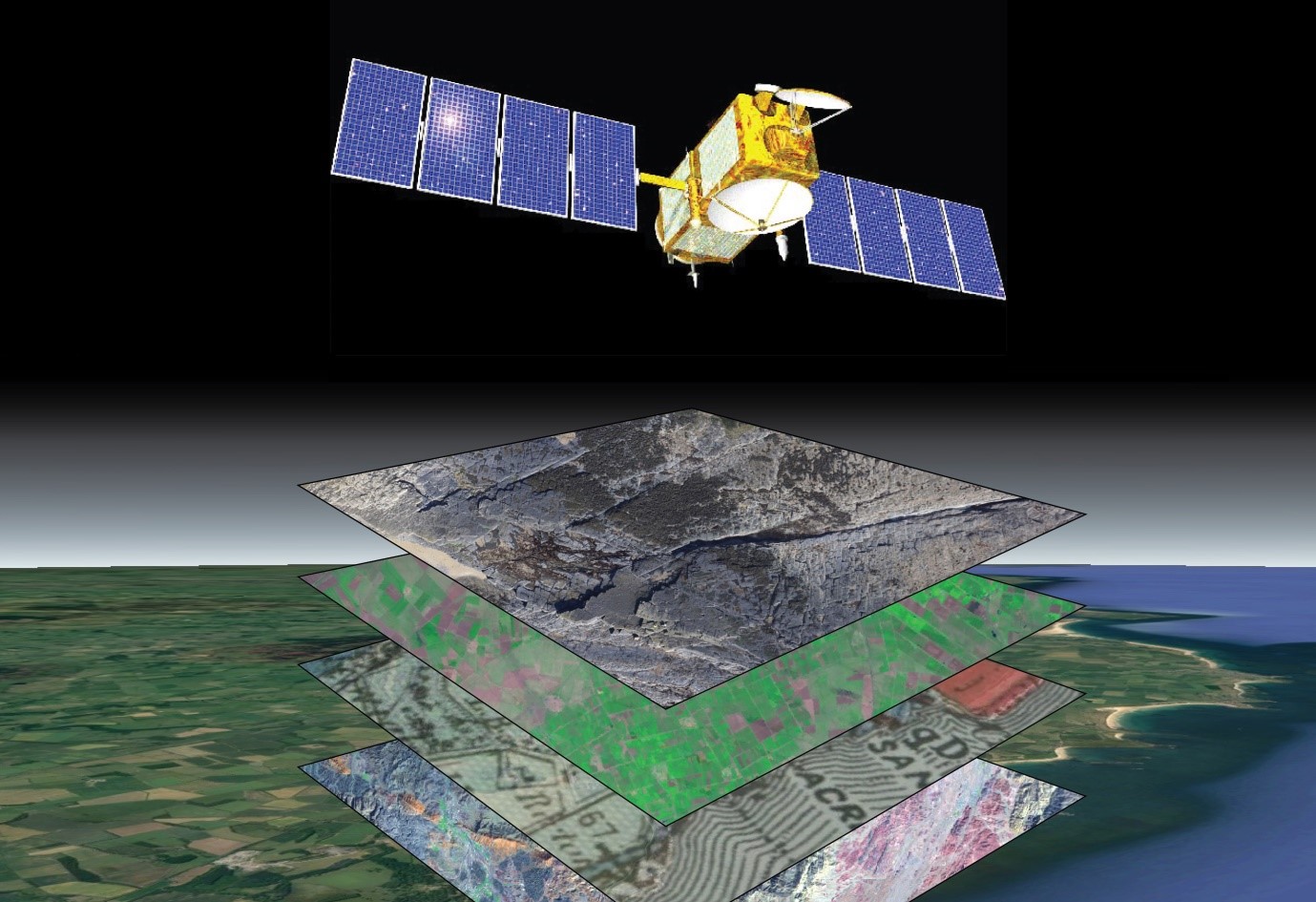
  5. Download and process earth observation satellite imagery.
  6. Acquire and process Global Navigation Satellite System (GNSS) data for high precision spatial positioning.
  7. Evaluate current trends in the GeoEnergy Transition.

Critical Minerals for the GeoEnergy Transition (G503)

Tutor(s)

Lucy Crane: ESG and Sustainability Consultant.

Overview

This course covers all aspects of the crucial role that mineral extraction will play in the energy transition. Building the low-carbon technologies required to combat climate change, such as wind turbines, electric vehicles and batteries, will be hugely mineral intensive. The impact of this increased extraction is often overlooked, yet it’s vital that these materials are sourced and extracted in the most responsible manner possible. This course explores where certain critical raw materials are currently produced and the impacts of their global supply chains, as well as examining how new technologies are aiding exploration for and extraction of new deposits. It also discusses challenges faced by responsible sourcing, and the growing importance of ESG within the mining industry.

Duration and Logistics

Classroom version: A 1.5-day course comprising a mix of lectures, case studies and exercises. The manual will be provided in digital format and participants will be required to bring a laptop or tablet computer to follow the lectures and exercises.

Virtual version: Three 3.5-hour interactive online sessions presented over 3 days. A digital manual and exercise materials will be distributed to participants before the course. Some reading and exercises are to be completed by participants off-line.

Level and Audience

Fundamental. The course is intended for industry professionals, though it is suitable for penultimate year undergraduate university students and above.

Objectives

You will learn to:

  1. Understand the wider context behind the mineral intensity of the energy transition.
  2. Define what is a ‘critical’ raw material.
  3. Describe how new technologies are ‘unlocking’ mineral deposits which have previously been considered unconventional.
  4. Understand the technical challenges associated with production of certain critical raw materials.
  5. Describe how environmental, social and geopolitical factors can also influence an element’s ‘criticality’.
  6. Begin to evaluate the environmental and social impacts of current global supply chains.
  7. Understand the role mineral extraction has to play in delivering the UN Sustainable Development Goals, alongside various industry operating codes and principles.
  8. Assess the importance of Environmental, Social and Governance (ESG) factors in project success.

Natural Fractures (Faults and Joints): Quantification and Analysis, Somerset, UK (G033)

Tutor(s)

Mark Bentley: TRACS International Consultancy and Langdale Geoscience.

Overview

This course will explore superb exposures of fault and joint systems within the Triassic/Lower Jurassic of the East Bristol Channel and Central Somerset Basins, focusing on 3-D seismic scale fault systems, including a variety of fracture geometries, fabrics and networks. Field analysis will be supported by materials on stress, strain and fracture development, as well as an analysis of both seal potential and flow potential. Key challenges regarding predicting fracture volumetrics and the challenges of fault seal will be addressed, including how to bridge the gap between outcrop detail and seismic structures and how to represent fractures in reservoir models, whether they be sealing or conductive to flow.

Duration and Logistics

5 days; a mix of field visits (50%) and classroom lectures with exercises (50%).

Exertion Level

This class requires an EASY exertion level. Somerset is quite comfortable in the spring and early summer, with temperatures of 5–20°C (40–65°F) and occasional rain showers. Field stops require short walks along coastal paths, beaches and wave cut platforms. The longest walk is <4km (2.5 miles). Field stops are all at approximately sea level and some are tide dependent. Transport will be by coach.

Level and Audience

Fundamental. The course is designed for geoscientists, petrophysicists, reservoir engineers and well engineers. Ideally structured for groups working in multi-discipline, asset-based teams with structurally complex reservoirs wishing to understand fracture properties and their impact on fluid flow.

Objectives

You will learn to:

  1. Characterize fracture systems and geometries in the subsurface.
  2. Quantify fault properties, including sealing capacity and threshold pressure.
  3. Quantify open natural fracture properties.
  4. Address modeling challenges for fracture type and fracture property distribution.
  5. Represent fractures (both faults and joints) in reservoir simulations.
  6. Evaluate risk and uncertainty associated with fracture modeling.
  7. Evaluate the impact of fractures on well planning and seal integrity.

Transition Skills: From Oil and Gas to Geothermal (G573)

Tutor(s)

Malcolm Ross: Consultant Geoscientist.

Overview

This course will offer geoscientists an understanding of how they can use and adapt their expertise gained in the oil and gas industry to the growing geothermal industry. Participants will be introduced to the fundamentals of a variety of geothermal system styles and be guided through the exploration and development of a project, focusing on subsurface workflows based on those used for oil and gas. The course is intended as an introduction to the entire lifecycle of a geothermal resource, covering aspects of geoscience and some engineering.

Duration and Logistics

Classroom version: A 3-day in-person classroom course comprising a mixture of lectures, exercises and discussion with a focus on geothermal project case studies and examples.

Virtual version: Five 3.5-hour interactive online sessions presented over five days. Digital course notes and exercise materials will be distributed to participants before the course.

Level and Audience

Fundamental. This course is designed specifically for geoscientists wanting to transition from the oil and gas industry to the geothermal sector.

Objectives

You will learn to:

  1. Describe the fundamentals of geothermal energy and how it is harnessed and used.
  2. Understand the key subsurface characteristics of geothermal resources and reservoirs.
  3. Understand what exploration tools (seismic, potential fields, geochemistry), exploration data (bottom hole temperatures, gradient surveys) and exploration approaches (basin modelling, play-based exploration) are used in geothermal exploration, which ones are in common with oil and gas, and how their uses differ.
  4. Define the subsurface geoscience requirements for a geothermal project, including the key similarities and differences with an oil and gas project.
  5. Appreciate the data types and subsurface workflows involved in a geothermal project.
  6. Examine the key project risks and uncertainties in developing geothermal resources and how they are mitigated.

Women in Energy Field Experience: The Role of Salt in Hydrocarbon Exploitation, Energy Storage and Carbon-reduction Mechanisms, Paradox Basin, Utah and Colorado (G084)

Tutor(s)

Kate Giles: Lloyd A. Nelson Professor, University of Texas at El Paso; Consulting Geologist.

Cindy Yeilding: NE Director, Denbury Inc.

Overview

This course is aimed exclusively at women working in the energy industry, particularly in the geoscience, geotechnical and engineering fields. The primary technical goal is to provide a widely applicable introduction to the interrelationship between sedimentation and structural geology with a particular focus on salt tectonics and salt-sediment interaction. The geology is examined with reference to energy production, including hydrocarbon exploration and production, along with discussions around energy transition topics (CCUS, geothermal, hydrogen and energy storage). While the technical aspects are paramount, the course is also designed to provide networking and professional development opportunities. Evening discussions and activities will allow for exchange of ideas and experiences in a supportive and open atmosphere.

Duration and Logistics

A 5-day field course starting and finishing in Grand Junction, Colorado, comprising a mixture of field exercises, activities and networking.

Level and Audience

Fundamental. This course requires a basic understanding of geoscience and will suit those working in the geoscience, geotechnical and engineering fields. The aim is to facilitate knowledge and experience exchange among the participants, so is open to women from a very wide range of experience levels.

Exertion Level

This course requires a MODERATE exertion level. There will be hikes to outcrops of up to 6.5km (4 miles) round trip. Some of these will encounter uneven and rocky ground with some short, steep inclines. The climate in southern Utah is typically warm to hot and dry with temperatures up to 37.5°C (100°F) and the elevation is between 1,250–1,500m (4,000–5,000 ft).

Objectives

You will learn to:

  1. Describe the regional stratigraphy and principal structural features of the Paradox Basin, Utah.
  2. Characterize and interpret controls on Paradox Basin salt-related structures and key features of passive diapiric systems, including halokinetic sequences, caprock development, non-evaporite stringers / inclusions, welds, megaflaps, counter-regional faults, radial faults and burial wedges.
  3. Examine stratal geometries and halokinetic sequences and how these relate to intervals of salt inflation / evacuation and sediment flux.
  4. Assess the controls on basin fill architecture, fluid flow and deformation within the Paradox Basin and compare this to analogous salt basins worldwide.
  5. Understand the importance of salt basins to the energy industry for hydrocarbon production.

Reservoir Geology for Engineers, Colorado and Utah (G061)

Tutor(s)

Mike Boyles: Retired Shell Oil; Affiliate Faculty, Colorado School of Mines.

Overview

The course investigates world-class outcrops to introduce engineers to a wide spectrum of stratigraphic and structural features commonly found in exploration and production. An active learning technique encourages participants to make initial observations and interpretations before group discussions. Lectures and exercises provide awareness of reservoir architecture while outcrops demonstrate field- and reservoir-scale heterogeneities. Depositional environments studied include deltaic, eolian, fluvial, turbidites, tidal and coastal plain with emphasis placed on understanding flow characteristics (i.e. connectivity, Kv, Kv/Kh).

Duration and Logistics

7 days; a mix of classroom lectures (10%) and field exercises (90%). The course begins and ends in Grand Junction, Colorado, and visits outcrops in Utah and Colorado.

Level and Audience

Fundamental. The material is presented with minimal jargon so that engineers get the full benefit of the course.

Exertion Level

This class requires a MODERATE exertion level. Scrambling over rock outcrops and steep sections will be required, but most hikes would be considered moderate. The longest walk is approximately 4.8km (3.2 miles). Outcrops are at elevations of 1200–2500m (4000–8200 ft). Weather conditions in NW Colorado and eastern Utah can vary from warm and dry to cold and wet, with an early fall temperature range of 5–23°C (41–73°F). Transport will be in SUVs on black-top and unpaved roads.

Objectives

You will learn to:

  1. Appreciate the differences between a range of depositional settings, their facies and related reservoir architecture.
  2. Use geologic knowledge to reduce reservoirs into flow units.
  3. Gain a better understanding of major events that influence deposition and help to understand reservoir geometries and scale.
  4. Evaluate the impact of modeling stochastic properties versus organized trends.
  5. Understand the dangers of upscaling and if it makes geologic sense.
  6. Use detailed sector models to understand how to capture subtle variations in the geology.
  7. Appreciate how to use the geology to make upscaling decisions by building detailed sector models to understand the impact of upscaling decisions.

Creativity and Innovation Skills for E&P (G029)

Tutor(s)

Henry Pettingill: Senior Associate, Rose & Associates LLP; President, Geo Ventures International Inc.

Niven Shumaker: Independent Consultant.

Overview

This course addresses how value is created from creativity and innovation. It provides participants with practical tools and methodologies to become more creative, and to make innovation actionable. Creativity and innovation are learnable skills, with step-wise approaches possible. Participants will leave with tools that allow them to formulate an action plan that can be used when they get back to work.

The course is interactive and practical. It uses group discussions and exercises to develop creative thinking techniques, models and frameworks that can be applied to real life oil and gas industry situations. It stresses breaking away from the “business as usual” environment.

Duration and Logistics

Classroom version: 2 days; a mix of lectures, case studies and discussion groups. The manual will be provided in digital format and participants will be required to bring a laptop or tablet computer to follow the lectures and exercises.

Virtual version: Four 4-hour interactive online sessions presented over 4 days. A digital manual and hard-copy exercise materials will be distributed to participants before the course.

Level and Audience

Fundamental. Intended for oil and gas industry staff responsible for solving problems, visualizing opportunities or developing new business streams. Suitable for managers and team members in technical, financial or support positions.

Objectives

You will learn to:

  1. Apply the fundamentals of creativity and innovation to create value.
  2. Prepare for creative thinking and to improve your creative skills.
  3. Implement the concepts of creative thinking critical to innovation, such as associative thinking and disruptive thinking.
  4. Develop questioning skills, effectively employing both descriptive and disruptive questions.
  5. Apply the five critical aspects of creative thinking and determine your current state in each one.
  6. Challenge your own thinking and your “status quo” mindset.
  7. Understand the various types of innovation and how they can be applied your challenges.
  8. Assess your own level in each of the five behaviors of innovative business leaders, where you can improve on each and how to leverage other people with complementary skills.

Reservoir Engineering for Geoscientists (G024)

Tutor(s)

Mark Cook: Associate Reservoir Engineer at TRACS International Consultancy and Independent Engineer at Delta-T Energy Consultancy.

Overview

The course examines reservoir engineering processes, techniques and terminology, particularly those that interface with geoscience activities. The material is structured around the three-part process of building a reservoir model: (1) building a static model to identify the main flow units, (2) developing a dynamic model to predict fluid flow in the reservoir, and (3) implementing a life-of-field reservoir management plan to maximize economic recovery. Numerous examples illustrate the use of subsurface data and the techniques employed during the construction of a reservoir model. The focus is on the principles rather than the detailed work of the reservoir engineer; the use of complex mathematics is avoided.

Duration and Logistics

Classroom version: 5 days; a mix of classroom lectures (60%), case studies (20%) and exercises (20%). The manual will be provided in digital format and participants will be required to bring a laptop or tablet computer to follow the lectures and exercises.

Virtual version: Five 4-hour interactive online sessions presented over 5 days, including a mix of lectures (60%), case studies (20%) and exercises (20%). A digital manual and hard-copy exercise materials will be distributed to participants before the course.

Level and Audience

Fundamental. The course is aimed at geoscientists, petrophysicists and others who interface with reservoir engineers on a regular basis, as well as anyone who wishes to obtain an understanding of reservoir engineering techniques.

Objectives

You will learn to:

  1. Effectively interact with reservoir engineering colleagues.
  2. Interpret original fluid contacts, understand saturation vs height relationships and estimate original hydrocarbon in-place volumes for oil and gas reservoirs.
  3. Differentiate the physical and chemical properties of hydrocarbons and their description through phase diagrams.
  4. Recognize the strengths and weaknesses of well tests and their analysis.
  5. Analyze production performance and describe production enhancement techniques.
  6. Contrast static and dynamic reservoir models and assess the merits of reservoir numerical simulation.
  7. Assess the value of reservoir management for forecasting production profiles and maximizing economic hydrocarbon recovery from a producing field over the complete life cycle.
  8. Examine the controls on fluid flow in the reservoir and reservoir drive mechanisms.

Applied Sequence Stratigraphic Analysis of Well Logs (G014)

Tutor(s)

Jeff May: Geological Consultant; Affiliate Faculty, Colorado School of Mines.

Overview

This course offers a practical approach to the sequence stratigraphic analysis of well logs. Lectures and exercises introduce the concepts and terminology of sequence stratigraphy and then apply them to the interpretation and correlation of well logs. Exercises are used to identify significant chronostratigraphic surfaces on well logs and then use the surfaces to construct log correlation sections for a variety of depositional settings. The approach allows for subdividing stratigraphic intervals into meaningful genetic packages, in order to interpret depositional histories and build geologically meaningful maps. Participants will develop the skills necessary to identify and predict new prospects and better subdivide reservoirs.

Duration and Logistics

A 5-day classroom course comprising a mix of lectures (30%), exercises (40%) and core examination (30%). The course is delivered at the Colorado School of Mines in Golden, Colorado, allowing participants access to the school’s inventory of cores. The manual will be provided in digital format and you will be required to bring a laptop or tablet computer to the course.

Level and Audience

Fundamental. This course is aimed at geoscientists to teach them how to interpret well log data, make well-to-well correlations and generate maps in a sequence stratigraphic framework. The content is also suitable for professionals who work with geoscientists, such as petrophysicists and reservoir engineers.

Objectives

You will learn to:

  1. Apply the terminology of sequence stratigraphy.
  2. Identify sequences, systems tracts, sequence boundaries, marine regressive and transgressive surfaces of erosion, and flooding surfaces.
  3. Apply sequence stratigraphic principles in carbonate, continental, shallow marine, deep marine and shale environments.
  4. Generate well-log correlations using sequence stratigraphy concepts and contrast lithostratigraphic and chronostratigraphic correlations.
  5. Apply reservoir-seal-source rock concepts to sequence stratigraphic interpretations.
  6. Create maps of genetically related sequence stratigraphic units.
  7. Predict new stratigraphic prospects or previously untapped reservoir compartments.
  8. Assess the influence of chronostratigraphic surfaces on reservoir quality and flow units.

Core Facies Analysis of Conventional and Resource Plays: Lessons from the Mowry and Niobrara Petroleum Systems, Powder River Basin (G011)

Tutor(s)

Gus Gustason: Senior Geologist and Geoscience Advisor, Enerplus Resources.

Richard Bottjer: President, Coal Creek Resources; Research Associate, Denver Museum of Nature and Science.

Overview

This core-based facies analysis course will use the petroleum system of the prolific Powder River Basin to develop realistic depositional models and sequence stratigraphic frameworks that can be used to better predict the extent and continuity of unconventional resources. Demonstrations will introduce participants to core handling, description and data integration techniques. Lectures and exercises will re-familiarize participants with lithofacies and facies associations and will describe applications of core-facies analysis to reservoir characterization of siliceous and calcareous mudstones, muddy sandstones and sandstones. Cores will be from the Powder River Basin, but learnings may be applied to resource plays in other basins.

Duration and Logistics

A 5-day classroom course comprising a mix of classroom lectures (25%) and core description exercises (75%) at the USGS Core Research Center, Lakewood, CO. The manual will be provided in digital format and you will be required to bring a laptop or tablet computer to the course.

Level and Audience

Fundamental. This course is intended for entry-level through mid-career geoscientists, reservoir engineers and petrophysicists who want to extract maximum value from cores, in order to improve exploration play analysis and reservoir characterization of both conventional and unconventional resources. Participants should have a basic knowledge of clastic and carbonate sedimentology and stratigraphy.

Objectives

You will learn to:

  1. Identify the important physical and biological parameters of core, including sedimentary structures, biogenic structures, significant surfaces and diagenetic textures. We will examine siliceous and calcareous mudstones, muddy sandstones and sandstones.
  2. Calibrate core descriptions with wireline log data.
  3. Evaluate source rock potential of mudstones using elemental chemistry data (XRF), TOC, RockEval (Vre) and vitrinite reflectance (Vro) data.
  4. Integrate routine core analysis and/or unconventional shale and tight rock analysis with core descriptions to better understand the controls on porosity and permeability.
  5. Identify basic structural features in cores, such as faults and fractures, and relate them to mechanical stratigraphy, in situ stresses and borehole stability issues.
  6. Develop a sequence stratigraphic framework from core descriptions and wireline log data.
  7. Compare reservoir characteristics with production performance to identify target zones for horizontal well placement.
  8. Discretize core descriptions for core-to-log facies analysis and reservoir modelling input.