World-class training for the modern energy industry

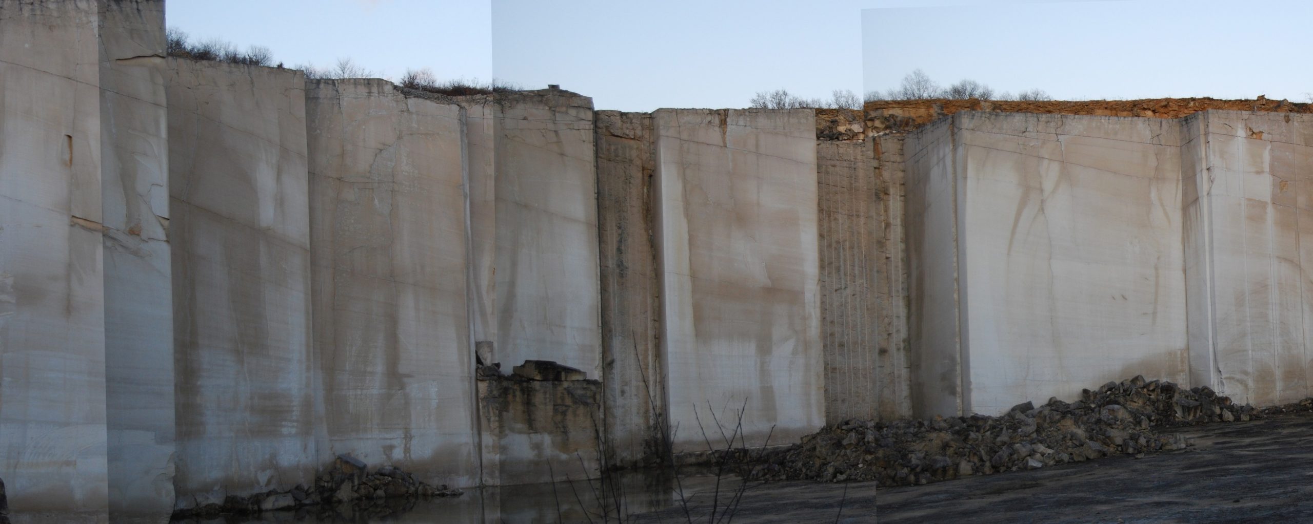
Middle Jurassic Carbonate Platforms of NE France: inside the Ooid Shoals and surrounding Environments (G130)

Tutor(s)

Benoit Vincent: Associate Director, Cambridge Carbonates.


Overview

The Middle Jurassic outcrops of the south-eastern Paris Basin illustrate the complexity of architectures within ooid shoals and the interfingering with surrounding lagoon and open marine domains on carbonate platforms. These are exceptional analogues for several producing oil fields around the world, but also for geothermal energy, as the equivalent Middle Jurassic limestones are the main deep geothermal aquifer used in the Paris suburban area. The course provides an illustration of an integrated workflow for 3D modeling, starting with a review of the constraints to the static model acquired from subsurface data and including sedimentary architectures, distribution and evolution of petrophysical properties through diagenesis.  All the key steps for robust static modeling are reviewed during the trip, always tying back to the geology and petrophysics.


Duration and Logistics

A 6-day field course based in the Auxois area (Burgundy, SE Paris Basin), with the itinerary and duration dependent on the technical objectives of the group.  The course will comprise classroom lectures and fieldwork with transport by bus.


Level and Audience

Intermediate. This course is intended for geologists, geophysicists, petrophysicists or reservoir engineers. Knowledge of the fundamentals of carbonate sedimentology would be a useful prerequisite. However, a brief reminder of sedimentological elements and of sequence stratigraphy is scheduled in classroom on the first day. Practical logging sessions will also be organised in the field.


Exertion Level

This class requires an EASY exertion level. Access to the outcrops is easy, requiring only less than 10-15 minutes of walking. The longest walk is approximately 1.5km between 3 quarries on the same site. Outcrops include sections in both active and abandoned quarries.


Objectives

You will learn to:

  1. Assess textures, allochems of carbonates and the range of preserved sedimentary structures.
  2. Evaluate different carbonate facies and facies-association stratigraphic geometries in relation to environment of deposition, constrained within a sequence stratigraphic framework.
  3. Examine large-scale sedimentary architectures and their impact on the heterogeneity at the reservoir scale.
  4. Gauge the implications of sedimentological and diagenetic processes on petrophysical properties.
  5. Assess the key steps for robust static modeling of different carbonate systems.
Numerical Modeling of Water-Rock-Gas Interactions and Natural Hydrogen Generation (G584)

Tutor

Dr. Eric C. Gaucher: Lavoisier H2 Geoconsult


Overview

In the rapidly evolving field of natural hydrogen, mastering geochemical modeling is a critical asset for any technical team.  This course will give participants the skills to undertake the numerical modeling of water-rock-gas systems and become familiar with the widely-used PHREEQC software package. You will receive debugged and optimized PHREEQC scripts and the specific LH2G methodology for water chemistry quality control. This allows your team to save weeks of in-house development and avoid costly modeling errors.


Duration and Logistics

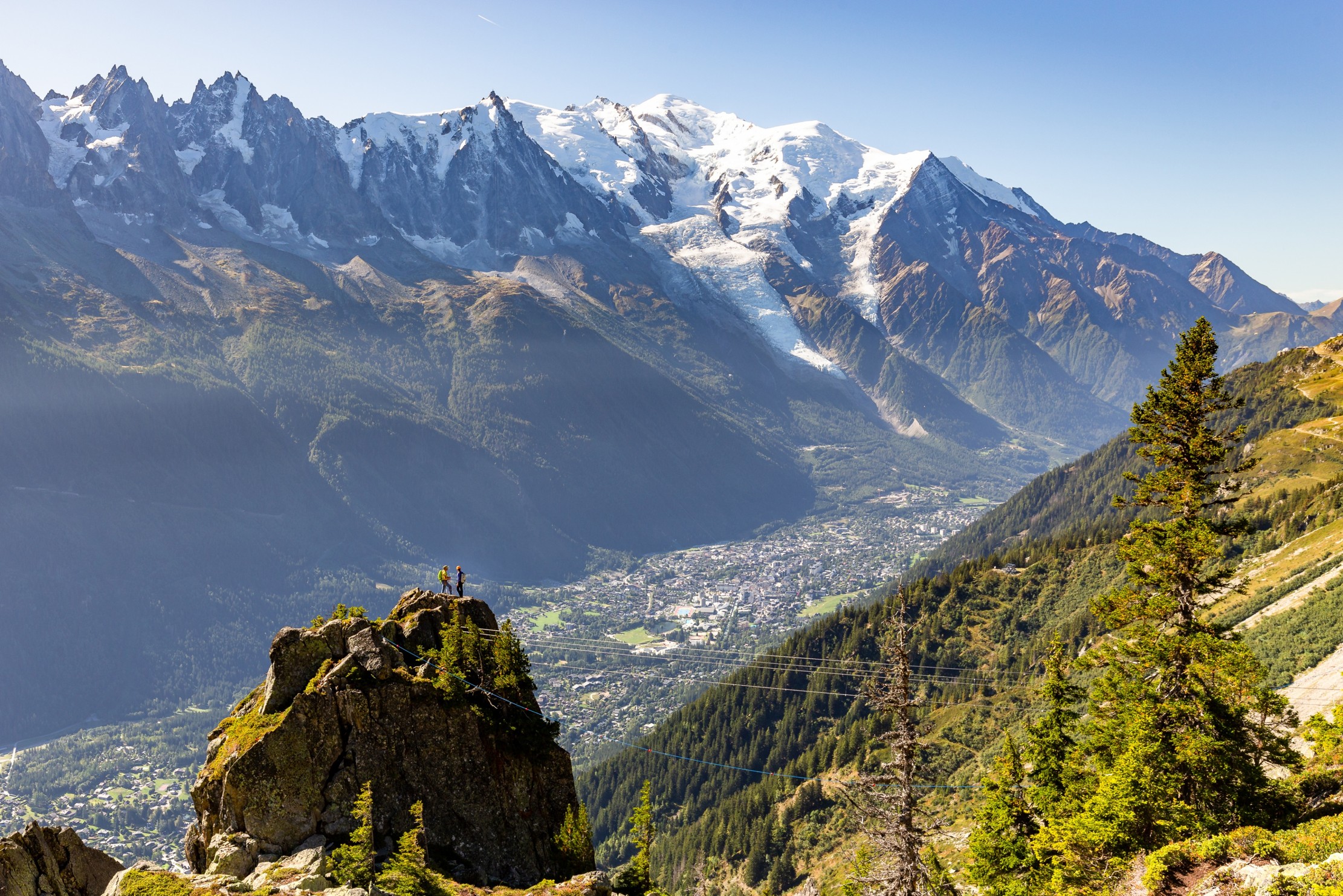
Classroom version: A 4-day course including case studies, exercises, and practical work on a variety of waters and H2 generation systems. The exercises become more complex to allow for a step-by-step approach. The course can be given at your office, or for those wanting an out-of-office experience in Europe, the course can be delivered in Chamonix, France.


Level and Audience

Intermediate. The course is largely aimed at geoscientists, hydro-geochemists, hydrogeologists or process engineers wishing to acquire skills in geochemical numerical modeling. You will be required to have a basic knowledge of chemistry, geochemistry and fundamental notions of thermodynamics.


Objectives

You will learn to: 

  1. Evaluate water chemistry and correction of the chemical composition.
  2. Calculate the speciation of an aqueous solution and simulate water/rock/gas interactions in open or closed batch systems.
  3. Model the evolution of fluid composition as a function of temperature, pressure and salinity.
  4. Assess the chemical composition of a fluid during dissolution/precipitation of solid phases.
  5. Characterize how hydrogen is generated from various rock types.

Structural Styles and Tectonics: Advanced Interpretation and Evaluation Workshop (G118)

Tutor(s)

Douglas Paton: Director, TectoKnow.


Overview

The workshop is a follow on from the introductory course G111 and will focus on developing the concepts and skills presented therein. It will go into more detail on the structural styles for each tectonic setting and outline the uncertainty in sub-surface data that has to be considered.


Duration and Logistics

Classroom version: A 4-day course comprising a mix of lectures and exercises. The manual will be provided in digital form and participants will be required to bring a laptop or tablet computer to follow the lectures.


Level and Audience

Intermediate. The course is aimed at more experienced subsurface geoscientists who want to focus on the structural uncertainties in data, at all scales.


Objectives

You will learn to:

  1. Appraise the impact of normal fault identification and fault mapping on reservoir understanding.
  2. Gauge the limitations of seismic imaging for reverse faults, their temporal variation and impact on reservoir presence and distribution.
  3. Validate strike-slip deformation on seismic sections and reconstruct the 3D and 4D evolution of strike-slip systems.
  4. Evaluate negative and positive structural inversion and its impact on hydrocarbon systems and basin fill.
  5. Manage the impact of deformation close to or beyond seismic resolution with respect to subsurface prediction and modeling.

Basin-Scale Stratigraphy (Source-to-Sink): Basins of the Pyrenean Foreland, Spain (G117)

Tutor(s)

Rene Jonk: Director, ACT-Geo Consulting and Training; Honorary Professor, University of Aberdeen.

Overview

Well-exposed outcrops of the Pyrenean Foreland Basin (PFB) in northern Spain offer a unique opportunity for source-to-sink analyses across thrust and foreland basin settings. This course demonstrates regional linkages of continental to marine environments and teaches fundamentals of play-scale reservoir, source and seal mapping and prediction. We utilize 3D outcrop models, detailed biostratigraphic data and subsurface examples to enhance learning through making maps and predictions. The course presents sequence stratigraphic models across continental, shelfal and deep-water settings in order to understand the external controls on sediment flux from the proximal to distal environments.

Duration and Logistics

A 6-day field course, based in the Pyrenees, with the itinerary dependent on the technical objectives of the group and timeframe. 60-80% of the time will be spent in the field, making active observations and undertaking field exercises, in combination with some classroom exercises and lectures as well as the option for viewing core.

Level and Audience

Intermediate. The course is specifically designed for reservoir engineers, geologists and geophysicists interested in analysing a range of clastic reservoir types from a variety of depositional settings. The field course will examine the reservoir attributes of a wide range of sand-prone deposits focusing on the reservoir quality and property distribution as well as larger scale correlation and gross architecture of distinct stratigraphic units. In addition, play-scale prediction of reservoir, source and seal elements will be covered and play-based evaluation techniques will be discussed and practiced.

Exertion Level

This class requires an EASY exertion level. Access to the outcrops is easy with many being road cuts. The longest walk is approximately 3 km over scrubby land. The field area sits at an altitude of up to 1000 m and the weather can be warm with daily highs over 25 degrees Celsius.

Objectives

You will learn to:

  1. Review facies associations in siliciclastic depositional systems.
  2. Predict external controls on sediment flux from continent to basin.
  3. Study the effects of compressional tectonics and the interaction of tectonics and sedimentation.
  4. Assess proximal to distal environments of deposition (EoD) and link them in space and time.
  5. Employ sequence stratigraphic models to continental, shelf and deep-water settings.
  6. Build stratigraphic frameworks across various scales and EoD.
  7. Predict occurrence of basin-scale play elements.
  8. Place local interpretations into regional context for predictions away from well control.
  9. Examine where sediment is stored in shelf environments, as well as when and how sediment is transported to deep water.

Deepwater Clastics: Source-to-Sink Studies in the Exploration of Turbidite Reservoirs, San Diego, California (G103)

Tutor(s)

Zane Jobe: Research Professor, Colorado School of Mines and the Director of the Geology Center of Research Excellence (CoRE).

Overview

The course will visit spectacular outcrops along the California coastline just north of San Diego. Field work will follow a source-to-sink approach and will focus on specific deepwater architectural elements, including canyons, slope channels, channel-lobe-transition-zones and lobes. The course will provide insights into exploration and development themes and challenges in deepwater depositional systems, with direct analogs to Gulf of Mexico reservoirs.

Duration and Logistics

A 6-day field course based in La Jolla, California. Training will take place through in-class presentations, field observations, printed exercises and discussions in the field. Transport will be by coach.

Exertion Level

This class requires a MODERATE exertion level. Access to the coastal cliff outcrops is via sandy beaches with walks no more than 3km (1.9 miles). Field stops are all at approximately sea level and some are tide dependent. There are some steep steps to negotiate to reach some beach sections.

Level and Audience

Intermediate. The course is aimed at geoscientists, engineers, petrophysicists, geophysicists and managers who are working deepwater reservoirs or would like to improve their knowledge of these systems.

Objectives

You will learn to:

  1. Characterize the sedimentary processes and facies of turbidite systems and mass-transport deposits, and the broad nature of submarine depositional architecture.
  2. Evaluate submarine-channel systems, including scales/dimensions, axis-to-margin architecture, evolution, heterogeneity and potential baffles/barriers to flow.
  3. Predict connectivity in channelized systems from their seismic-geomorphic and well-log expression.
  4. Assess submarine canyon forming-and-filling processes, including mass wasting, bypass, sandy and muddy fill, and up-dip trapping mechanisms.
  5. Illustrate the importance of source-to-sink studies in the exploration of turbidite reservoirs.
  6. Evaluate submarine lobe/sheet systems, including scales/dimensions, axis-to-fringe architecture, compensational stacking, hierarchy and heterogeneity (e.g. hybrid-event-beds).
  7. Analyze channel-lobe-transition-zone deposits and supercritical-flow bedforms.
  8. Assess faulting in lobe deposits and impacts on connectivity.
  9. Appraise the facies variability in proximal/axial and distal/fringe lobe deposits, and the implications for connectivity between these sub-environments.

The Geology of the Paradox Basin and Implications for Deepwater Gulf of Mexico Exploration, Moab, Utah (G095)

Tutor(s)

Kate Giles: Lloyd A. Nelson Professor, University of Texas at El Paso; Consulting Geologist.

Overview

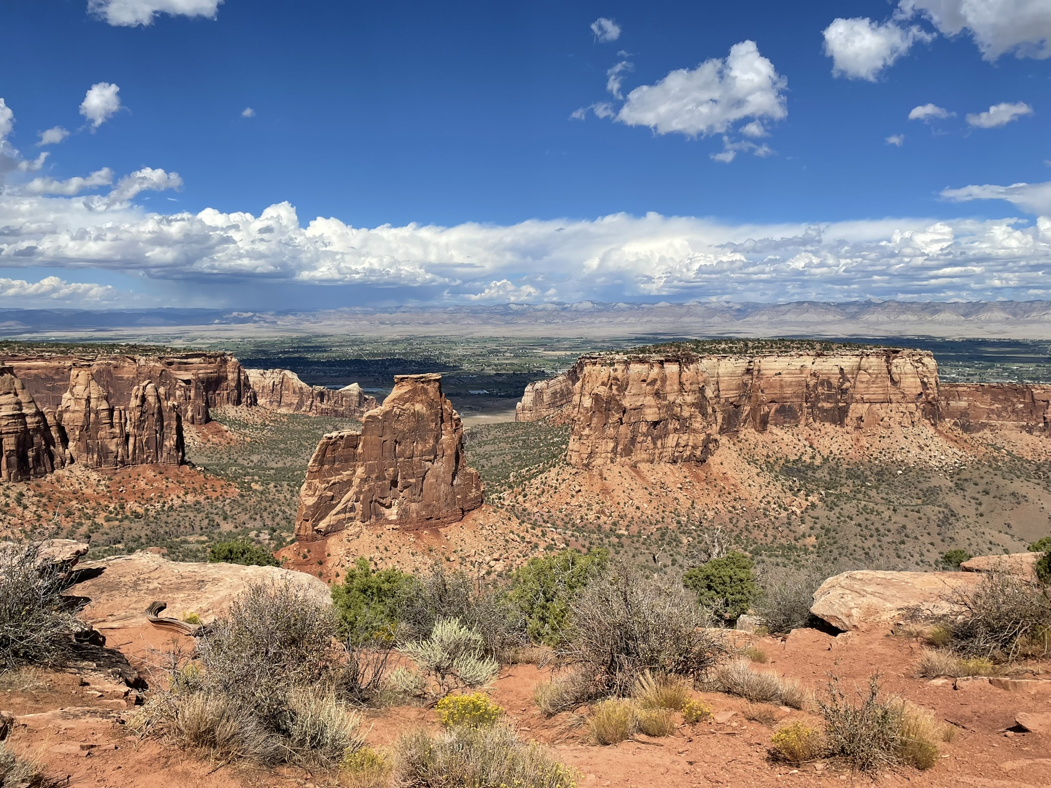
The primary technical goal is to provide a widely applicable introduction to the interrelationship between sedimentation and structural geology with a particular focus on salt tectonics and salt-sediment interaction. The geology is examined with reference to deepwater exploration themes with the Gulf of Mexico.

Duration and Logistics

A 4-day field course starting and finishing in Grand Junction, Colorado, comprising a mixture of lectures, field work and exercises.

Level and Audience

Intermediate. This course requires a basic understanding of geoscience and will suit those working in the geoscience, geotechnical and engineering fields. The aim is to facilitate knowledge and experience exchange among the participants, so is open to those from a very wide range of experience levels.

Exertion Level

This course requires a MODERATE exertion level. There will be hikes to outcrops of up to 6.5km (4 miles) round trip. Some of these will encounter uneven and rocky ground with some short, steep inclines. The climate in southern Utah is typically warm to hot and dry with temperatures up to 37.5°C (100°F) and the elevation is between 1,250–1,500m (4,000–5,000 ft).

Objectives

You will learn to:

  1. Describe the regional stratigraphy and principal structural features of the Paradox Basin, Utah.
  2. Characterize and interpret controls on Paradox Basin salt-related structures and key features of passive diapiric systems, including halokinetic sequences, caprock development, non-evaporite stringers / inclusions, welds, megaflaps, counter-regional faults, radial faults and burial wedges.
  3. Examine stratal geometries and halokinetic sequences and how these relate to intervals of salt inflation / evacuation and sediment flux.
  4. Assess the controls on basin fill architecture, fluid flow and deformation within the Paradox Basin and compare this to analogous salt basins worldwide.
  5. Understand the importance of salt basins to the energy industry for hydrocarbon production.

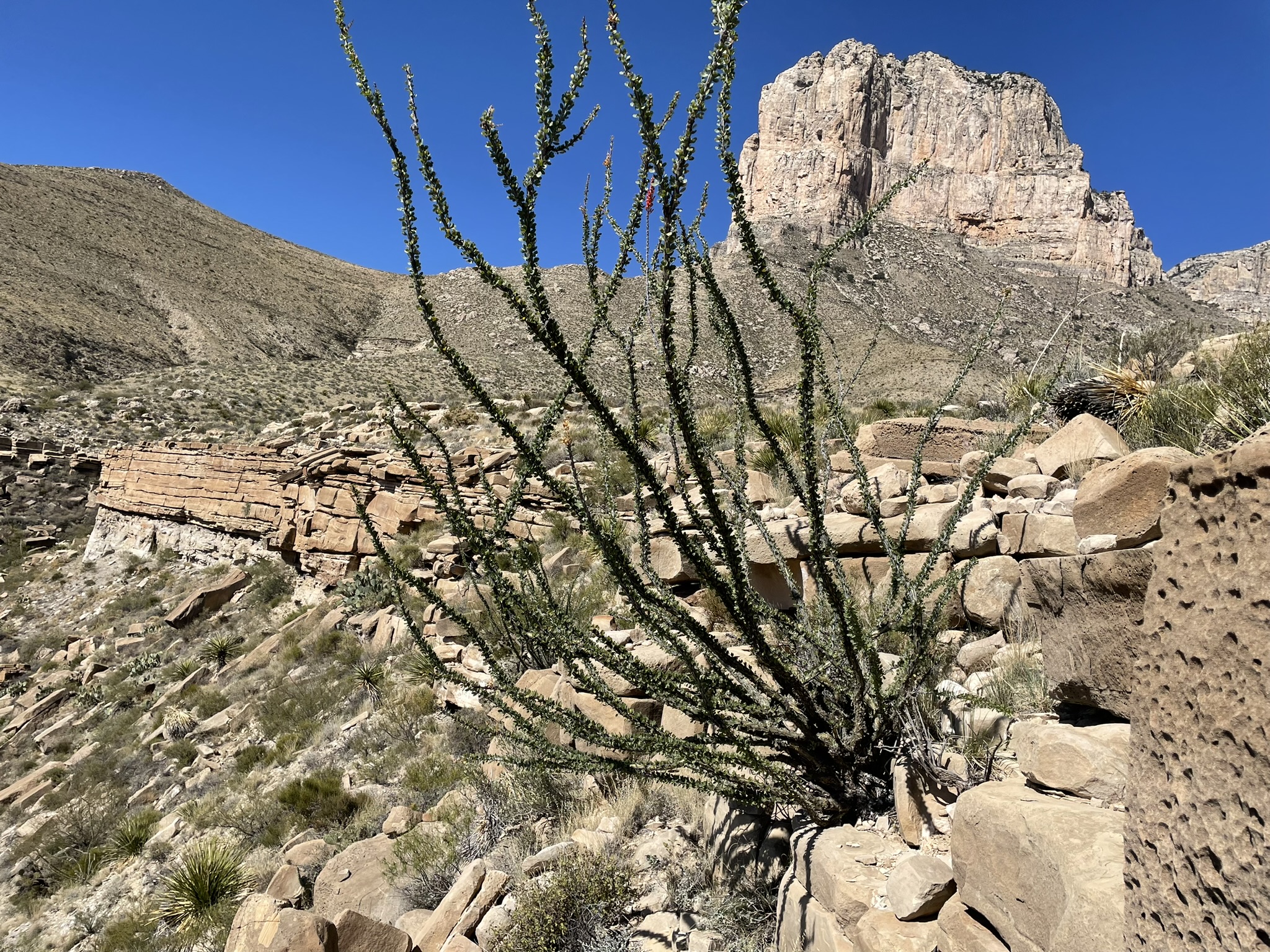
Slope-Channel Depositional Systems: Brushy Canyon Formation, SE New Mexico and West Texas​ (G091)

Tutor(s)

Art Saller: Independent Geological Consultant.

Overview

This field course is designed for geoscientists and engineers exploring and developing deepwater clastic reservoirs anywhere in the world. The course examines excellent (classic) exposures showing depositional facies and stratal geometries developed in deepwater slope and channel environments and their controls on reservoir presence, quality and production. Outcrop description and exercises with subsurface data are integrated into the course. Analog fields from West Africa, Gulf of America/Mexico, southeast Asia and the Permian Basin are discussed on outcrops.

Duration and Logistics

A 6-day field course beginning and ending in El Paso, Texas. Most training will take place through observation and discussion in the field.

Level and Audience

Advanced. The course is aimed at geoscientists, petrophysicists, reservoir engineers and production engineers working deepwater siliciclastic reservoirs. Basic principles are presented on the first morning to bring participants to a common level of understanding. Outcrop viewing, description and exercises will give even advanced level participants improved understanding of these systems.

Exertion Level

This class requires a DIFFICULT exertion level. The outcrops are in west Texas and southeast New Mexico, where the weather is arid with hot summers and cool winters. This trip is run in spring or fall when temperatures are more moderate, although hot, cold or wet weather is possible. Daily temperatures can range from 5–30°C (40–90°F). The course includes a hike of around 6 km/4 miles with an ascent of 400m (1300 ft), and shorter hikes, frequently over very steep and uneven ground. Transport on the course will be by coach. Most of the driving is on black-top roads, with some driving on graded dirt roads.

Objectives

You will learn to:

  1. Visualize the seismic-scale geometries of major slope channel systems including incised upper slope valleys, amalgamated mid-slope channel-complexes, and middle to lower slope channel-levee complexes for use in subsurface interpretation.
  2. Assemble a predictive model for those different sand geometries relative to slope position.
  3. Describe different deep-water (turbidite) facies and understand variations in their distribution and reservoir characteristics in different architectural elements (channel, levees, splays).
  4. Relate outcrop and core scale variations of deepwater sands to wireline log characteristics within channel complexes to help interpret facies in logs.
  5. Predict how turbidites and their characteristics change laterally which can be applied to static and dynamic reservoir models for appraisal and development.
  6. Assess thin turbidite sand beds and understand where they occur deep-water systems and how their continuity can vary from relatively limited areal continuity in levees to sheets in thin-bedded basin floor fans.
  7. Evaluate variation in grain size and lateral continuity of sand bodies, understand why they can cause large variations in permeability, production rates and oil recovery.
  8. Relate characteristic of outcrops to analogous oil fields along the West African margin, Gulf of America/Mexico, southeast Asia and the Permian Basin
 

Understanding Seismic Data: Time, Depth and Geology (G082)

Tutor(s)

David Kessler: President, SeismicCity Inc.

Ron Kerr: Seismic Processing Consultant.

John Byrd: President, ByrdGEO; Adjunct Professor of Geology, University of Utah.

Overview

This course is designed to provide seismic interpreters, managers, geophysicists and geologists with a broad understanding of seismic imaging and processing. Emphasis will be placed on an understanding of industrial methods and workflows, differentiation of signal from artifacts, and connecting seismic data to geological settings for prospect evaluation and generation. The limited amount of quantitative seismic theory that is included is linked to the fundamentals of seismic data acquisition and processing, imaging, model building and interpretation through the incorporation of case studies. The eight course sessions continually build on the material from previous sessions and are tied to the underlying geology.

Duration and Logistics

A 4-day in-person classroom course, consisting of lectures and exercises. A digital manual will be provided for the course.

Level and Audience

Intermediate. The course is intended for seismic interpreters and geologists involved in the use and evaluation of seismic data.

Objectives

You will learn to:

  1. Outline the principal strengths and limitations of depth imaging.
  2. Assess the uncertainties of depth imaging and strategies to reduce these.
  3. Establish the fundamentals of marine- and land-based seismic from acquisition to pre-processing.
  4. Examine the processing steps leading to post- and pre-stack time migration, and post-stack depth migration.
  5. Evaluate various migration parameters used in the application of pre-stack depth migration and how they affect the PSDM image.
  6. Gauge the accuracy of time to depth conversion by application of pre-stack depth migration, as well as seismic to well tie and residual depth correction.
  7. Demonstrate the fundamental differences between depth and time migration and the improved imaging results when depth migration is utilized to resolve lateral velocity variations.
  8. Evaluate the link between the pre-stack depth image and the underlying geological settings.
  9. Analyze the complex structural geometries associated with salt tectonics and their significant associated imaging challenges.
  10. Differentiate signal from artifacts.
  11. Assess the construction of geological models utilizing our common understanding of velocity estimation, anisotropic parameters and different geologic settings.
  12. Connect seismic data to geological settings for prospect evaluation and generation.

Geologic Carbon Storage at Outcrop: Lessons for Subsurface Characterization, Modeling, Risk and Monitoring, Utah (G579)

Tutor(s)

Alex Bump: Research Science Associate, University of Texas at Austin.

Michael Sweet: Co-Director and Research Scientist, University of Texas at Austin.

Overview

Using outcrops from the Cretaceous and Jurassic of Utah, this course will analyze some of the major subsurface challenges facing the storage of CO2 in subsurface formations, with particular reference to the planned Oligo-Miocene carbon stores on the Gulf Coast. It is intended to give participants the opportunity to consider the key factors of injectivity, capacity and confinement, and the range of storage play concepts available to match project needs with practically accessible storage sites. The course will explore the impact of multi-scale reservoir heterogeneity on migration and trapping of CO2, the propagation and dissipation of pressure, and the risks of unintended lateral or vertical migration of CO2 and/or displaced brine. We will also look specifically at boundary conditions and potential leakage paths, including faults and wells, using a variety of outcrops as a natural laboratory to facilitate the learning points.

Duration and Logistics

A 6-day field course comprising a mix of field activities with classroom lecture sessions and discussions. Transport will be by minivan or bus.

Level and Audience

Intermediate. This course is intended for geoscience and engineering professionals working in, or soon to transfer to, CCS projects.

Exertion Level

This class requires a MODERATE exertion level. There will be some short hikes to outcrops with some of these over uneven and rocky ground. The climate in southern Utah during the spring and fall is variable, with temperatures from 50°F (10°C) to 100°F (38°C). The elevation is between 4,000 and 5,000 feet (1200 and 1500 meters).

Objectives

You will learn to:

  1. Describe the subsurface requirements for a successful storage project, including similarities and differences with oil and gas exploration.
  2. Illustrate the CCS reservoir details of proposed Gulf Coast carbon stores and the state-of-play of these projects.
  3. Characterize the main depositional features that influence reservoir properties and CCS reservoir development, as well as likely performance, with special reference to clastic coastal/shallow marine depositional systems.
  4. Gauge fluid transport parameters, including the impact of geological heterogeneity and permeability on CO2 injection and plume migration.
  5. Evaluate sustainable injection rates for different carbon stores, including pressure propagation and interference, and factors such as loss of injectivity and pressure build-up.
  6. Manage containment risks with respect to both structural and depositional heterogeneities.
  7. Validate models for plume migration and integrate the key uncertainties.

Reservoir Characterization and Subsurface Uncertainties in Carbon Stores, Cheshire, UK (G578)

Tutor(s)

Richard Worden: Professor in the Department of Earth Ocean and Ecological Sciences, University of Liverpool, UK.

Overview

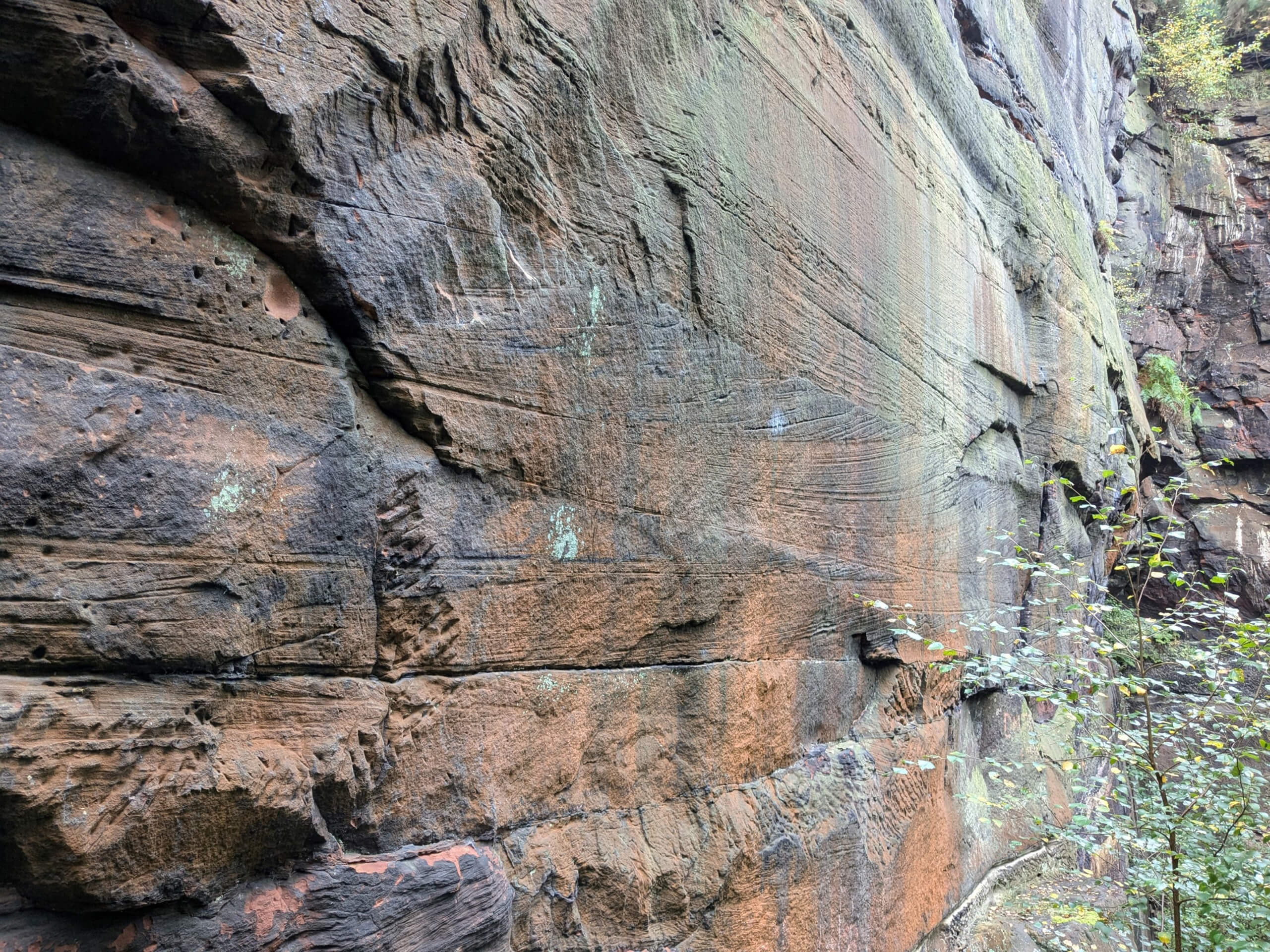
This course will give participants the opportunity to see some of the rocks at outcrop that are planned UK CO2 storage sites and to analyze the associated range of subsurface challenges. Visiting these outcrops will allow subsurface geoscientists, who generally use logs and limited core to build models, the opportunity to see the larger and smaller scale architecture and heterogeneity of the rocks they are working on and to consider the key processes of injectivity, migration and trapping of CO2. The course will also discuss post-depositional changes to sandstones, including petrophysical and geomechanical property evolution (pre- and post-CO2 injection), and some of the risks (migration and leakage) associated with developing saline aquifers and depleted gas fields as CO2 storage sites in these sandstones.

Duration and Logistics

A 5-day field course comprising a mix of field activities with classroom lectures and discussions. Transport will be by bus.

Exertion Level

This class requires an EASY exertion level. Field locations are mainly relatively easy walks of less than 1km (0.6 mile) along paths from road access points, although there is some walking down and up gentle slopes. One outcrop involves a 6km (3.7 miles) round trip walk over an intertidal sandflat.

Level and Audience

Intermediate. This course is intended for geoscience and engineering professionals working in CCS projects, especially those with an active interest in the Triassic Bunter/Sherwood Sandstones.

Objectives

You will learn to:

  1. Appraise the main depositional and diagenetic features that influence Triassic Sandstone (Bunter/Sherwood) reservoir properties and CCS reservoir development and likely performance.
  2. Validate the CO2 storage volumetrics from the micro (pore-scale) to the macro (aquifer volumes).
  3. Predict CO2 flow away from injector wells controlled by permeability and aquifer architecture with reference to injection rates and subsurface pressure.
  4. Assess the range of effects that CO2 can have on the host aquifer, from geomechanical to geochemical.
  5. Create plume migration models with respect to compartmentalization risk, pressure barriers, faults and fractures.
  6. Assess the role of top-seal and fault-seal properties and how they will influence CO2 storage, from risk of fracking, or induced seismicity, to mineral dissolution.