World-class training for the modern energy industry

Middle Jurassic Carbonate Platforms of NE France: inside the Ooid Shoals and surrounding Environments (G130)

Tutor(s)

Benoit Vincent: Associate Director, Cambridge Carbonates.


Overview

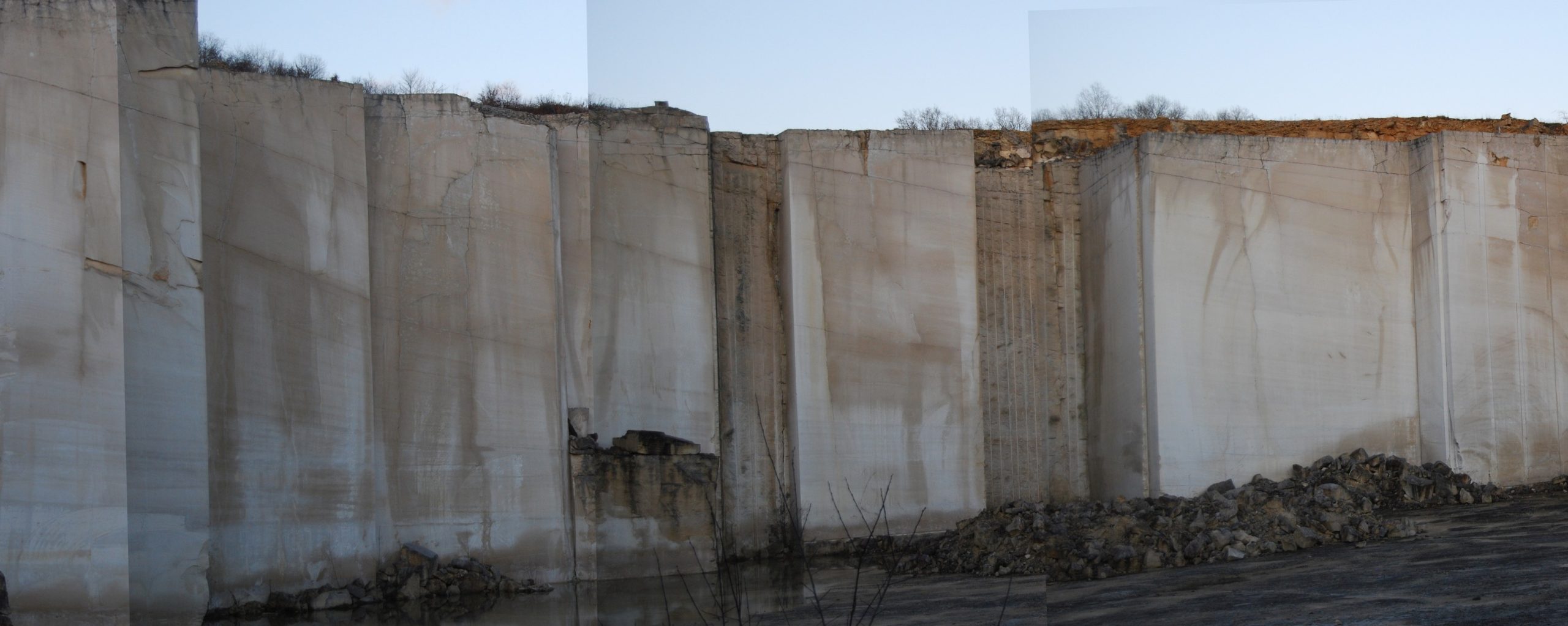
The Middle Jurassic outcrops of the south-eastern Paris Basin illustrate the complexity of architectures within ooid shoals and the interfingering with surrounding lagoon and open marine domains on carbonate platforms. These are exceptional analogues for several producing oil fields around the world, but also for geothermal energy, as the equivalent Middle Jurassic limestones are the main deep geothermal aquifer used in the Paris suburban area. The course provides an illustration of an integrated workflow for 3D modeling, starting with a review of the constraints to the static model acquired from subsurface data and including sedimentary architectures, distribution and evolution of petrophysical properties through diagenesis.  All the key steps for robust static modeling are reviewed during the trip, always tying back to the geology and petrophysics.


Duration and Logistics

A 6-day field course based in the Auxois area (Burgundy, SE Paris Basin), with the itinerary and duration dependent on the technical objectives of the group.  The course will comprise classroom lectures and fieldwork with transport by bus.


Level and Audience

Intermediate. This course is intended for geologists, geophysicists, petrophysicists or reservoir engineers. Knowledge of the fundamentals of carbonate sedimentology would be a useful prerequisite. However, a brief reminder of sedimentological elements and of sequence stratigraphy is scheduled in classroom on the first day. Practical logging sessions will also be organised in the field.


Exertion Level

This class requires an EASY exertion level. Access to the outcrops is easy, requiring only less than 10-15 minutes of walking. The longest walk is approximately 1.5km between 3 quarries on the same site. Outcrops include sections in both active and abandoned quarries.


Objectives

You will learn to:

  1. Assess textures, allochems of carbonates and the range of preserved sedimentary structures.
  2. Evaluate different carbonate facies and facies-association stratigraphic geometries in relation to environment of deposition, constrained within a sequence stratigraphic framework.
  3. Examine large-scale sedimentary architectures and their impact on the heterogeneity at the reservoir scale.
  4. Gauge the implications of sedimentological and diagenetic processes on petrophysical properties.
  5. Assess the key steps for robust static modeling of different carbonate systems.
Natural Hydrogen, Pau, France (G582)

Tutor(s)

Eric Gaucher: CEO, Lavoisier H2 Geoconsult and RockyH2.

Jean Gaucher: Development Officer, Lavoisier H2 Geoconsult.


Overview

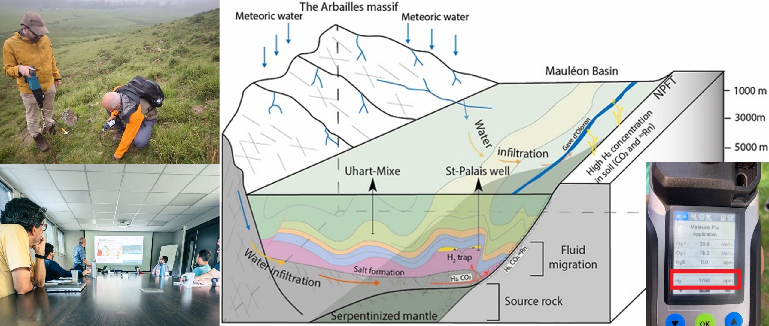
The last few years has seen a growing interest in natural hydrogen accumulations. We know that there are a variety of processes that can lead to hydrogen being produced in the Earth’s crust but there is much still to understand about these, how much is perhaps present in subsurface stores and where these accumulations are. Commercial exploitation will also need to assess the engineering challenges for extracting this hydrogen and ultimately how best it can be utilised as part of the changing face of our modern energy landscape. This course will give an integrated view on the economic, strategic and scientific aspects of natural hydrogen exploration and its perspectives.


Duration and Logistics

Virtual version: Four 3.5-hour online sessions presented over four days comprising a mix of lectures, exercises, case studies and discussion. The course manual will be provided in digital format.

Fieldtrip version: A 5-day field course located in Pau, France with a focus on the geological aspects of natural hydrogen.


Level and Audience

Fundamental. The course is largely aimed at geologists interested in natural hydrogen occurrences but the trainers able to adapt the level of the course to the requirements of the attendees.


Exertion Level

This class requires and EASY exertion level. Travel is by small coach and there are hikes of less than 10 minutes in duration (less than 1 km) on well-graded terrain in the foothills of the Pyrenees.


Objectives

You will learn to:

  1. Evaluate the different types of hydrogen and the origins of natural hydrogen.
  2. Characterise the strategies for the exploration of natural hydrogen.
  3. Clarify and organize the different technical steps of a natural hydrogen exploration programme.
  4. Appraise the geological, geochemical and geophysical tools that can be used for natural hydrogen exploration.
  5. Assess the co-production of natural hydrogen with geothermal resources, Helium and the mining industry.
  6. Assess the techno-economic evaluation of natural hydrogen.

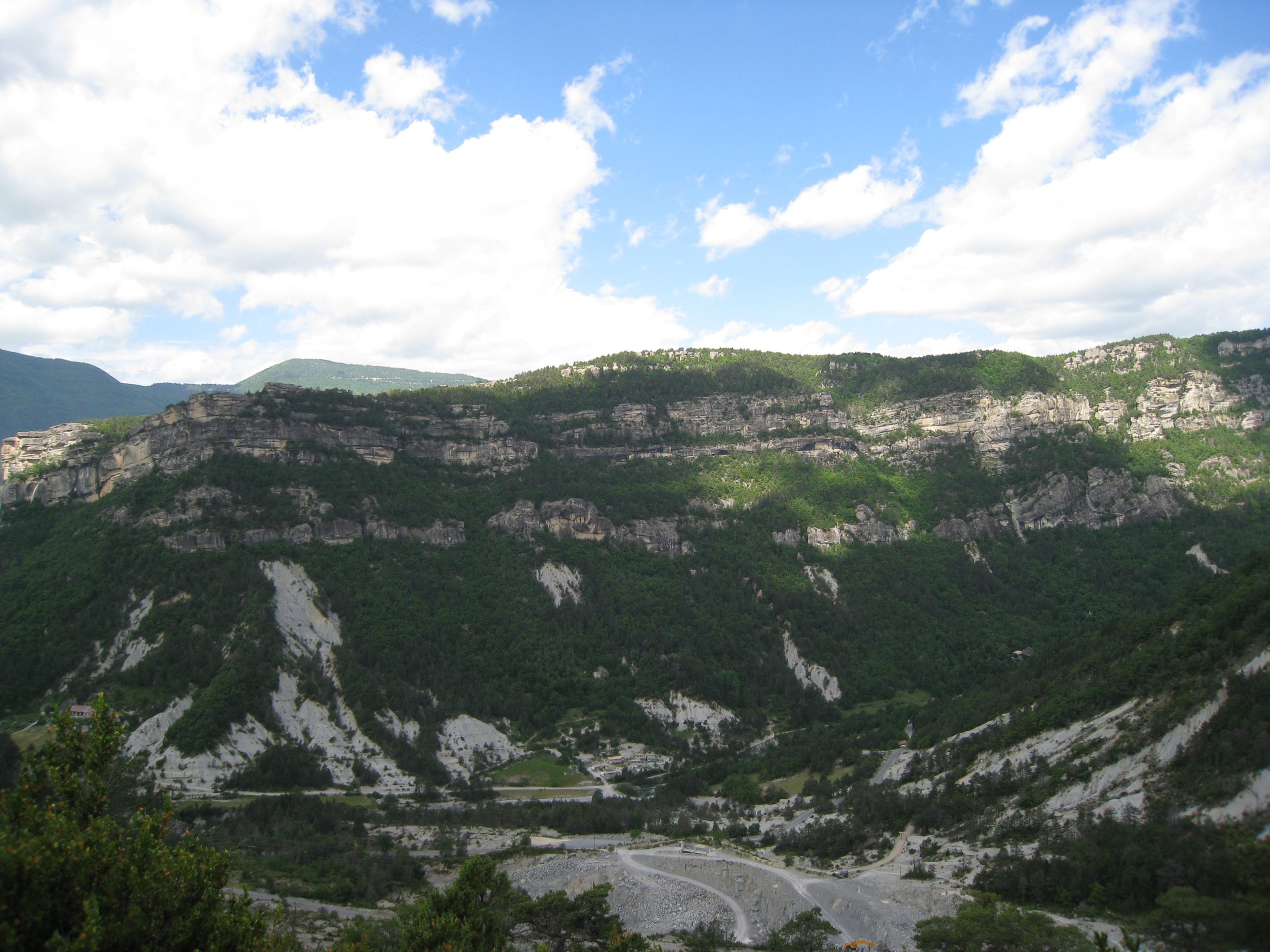
Sand-rich and Confined Turbidite Systems: Annot, France (G048)

Tutor(s)

Mark Bentley: TRACS International Consultancy and Langdale Geoscience.

Overview

Experience the classic, well-exposed Grès d’Annot turbidite outcrop area in the French Alps, an excellent analogue for deepwater exploration and development targets in structurally active slope and basin settings. This course will provide insights into field development challenges in relatively confined, high-net, submarine fan systems by using the world-class exposures along with static/dynamic models of the outcrops to support discussions. Seismic forward-models of 3-D and 4-D responses to waterfloods in these systems add to the conversation. The setting allows reservoirs to be observed at a range of scales from seismic- and field-scale, to the scale of a core plug, and is intended for a cross-discipline, geoscience and petroleum engineering audience.

Duration and Logistics

A 7-day field course in the French Alps, comprising field activities and exercises on-site, unless weather doesn’t allow. The manual will be provided in paper format, with a digital copy available as a take-away.

Level and Audience

Advanced. The course is designed for integrated teams (geologists, geophysicists and reservoir engineers) evaluating development opportunities for fields in deepwater confined basins. The ideal group would be an asset team, who would be encouraged to bring their own field issues (and data where possible) to discuss live on the analogue.

Exertion Level

This class requires a DIFFICULT exertion level. The Grès d’Annot is quite comfortable in the early summer, with temperatures of 10–25°C (50–80°F) and occasional rain showers. Some field locations require path-based hillwalking involving ascents up to 600m (2000 feet). The longest excursion involves a full-day hike and will be conducted at a leisurely pace.

Objectives

You will learn to:

  1. Assess discrete, structurally controlled sediment transport pathways into bathymetrically complex deepwater basins.
  2. Assess the role of relative structural and flow confinement on turbidite reservoir architecture.
  3. Characterize internal reservoir architecture in different parts of the system and assess the impact of heterogeneities on fluid flow.
  4. Formulate reservoir and simulation modelling requirements, in order to forecast production performance from reservoirs of these types.
  5. Determine the level of detail required for reservoir characterization under a range of fluid fills and production mechanisms.
  6. Understand how much of the observed heterogeneity would be detectable on seismic, and predict how fluid-sensitive heterogeneities would be visible on 4-D seismic for a field on production.

Modeling and Development Planning in Carbonate Reservoirs, Provence, France (G034)

Tutor(s)

Mark Bentley: TRACS International Consultancy and Langdale Geoscience.

Overview

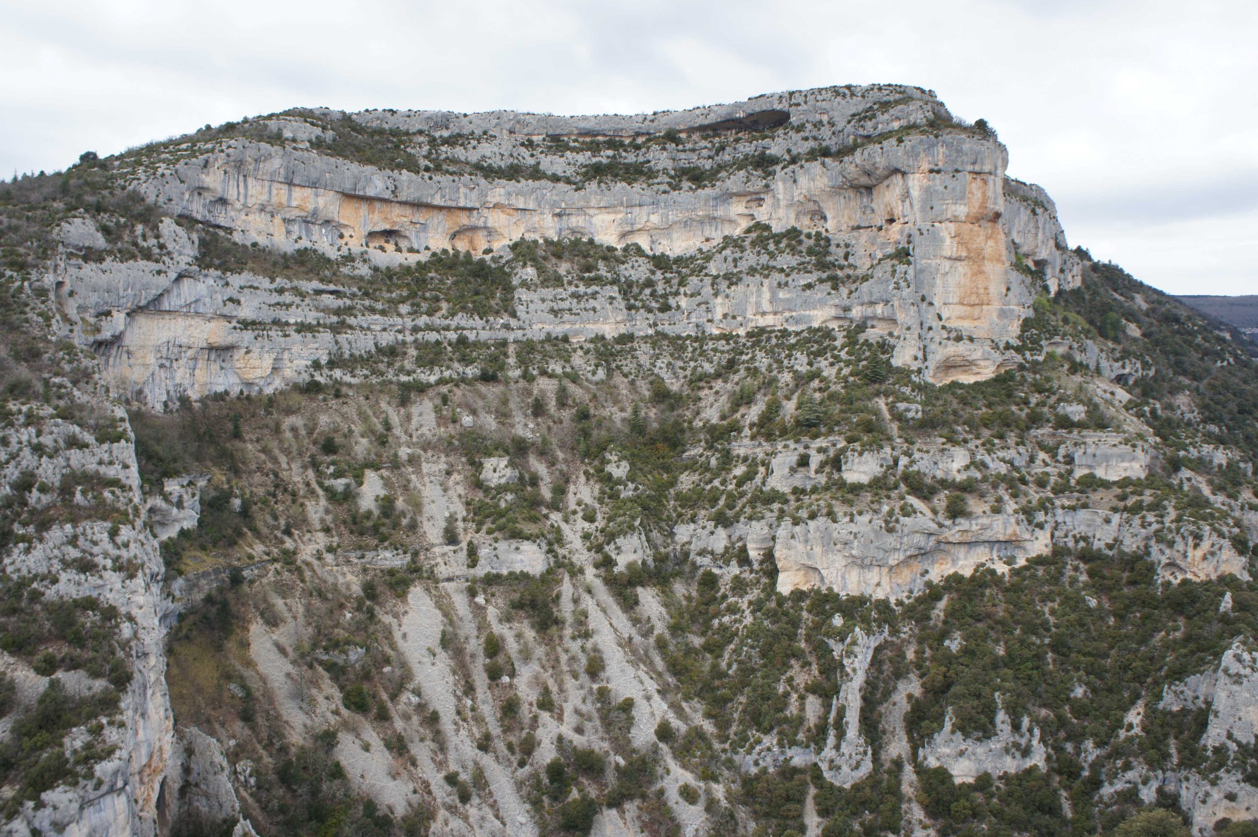
Using analogue outcrops in the Luberon and Cassis area of southern France, this course develops workflows for static and dynamic modeling in carbonate reservoirs, covering in particular the issues of conceptual reservoir characterization, the handling of scale and the representation of fracture detail in cellular models. The analogue section chosen is a direct analogue for Shuaiba/Kharaib Middle East reservoirs, including high and low energy areas of rudist platforms, inner and outer shelves, and chalks. The modeling principles are transferable to other carbonate environments.

Duration and Logistics

7 days; field activities and exercises (100%); the outdoors will be used as a classroom.

Level and Audience

Advanced. A course for technical professionals working in integrated teams who are planning development activities in carbonate reservoirs (reservoir engineers, geoscientists, petrophysicists) and all involved in reservoir and simulation modeling.

Exertion Level

This class requires an EASY exertion level. Provence is quite comfortable in the late summer to fall, with temperatures of 10-25°C (50-80°F) and occasional rain showers. The field locations are all easily accessible requiring only a short walk from the transport. The longest walk is approximately 0.5km (0.3 mile) along a road section. There will be one boat trip (weather dependent) to view key cliff exposures that can only be seen from offshore (1-2 hours duration).

Objectives

You will learn to:

  1. Describe a carbonate reservoir in terms of essential reservoir elements and the architectural arrangement of those elements.
  2. Evaluate reservoir property distributions for those elements in a form suitable for input to static/dynamic reservoir modeling.
  3. Judge the scale at which a static/dynamic modeling exercise should be conducted, including any need for multi-scale modeling.
  4. Prepare rules of thumb for effective property modeling in carbonates at a range of scales.
  5. Assess fracture systems in carbonates and explain the options for modeling them (explicit DFN vs implicit effective properties).
  6. Apply the concept of representative elementary volumes (REV) to fractured and unfractured carbonates.
  7. Discuss optimal development planning for an oil reservoir based on the outcrops seen during the course.
  8. Catch up with current research activities in carbonate reservoirs.