World-class training for the modern energy industry

Reservoir Geology for Engineers, Colorado and Utah (G061)

Tutor(s)

Mike Boyles: Retired Shell Oil; Affiliate Faculty, Colorado School of Mines.

Overview

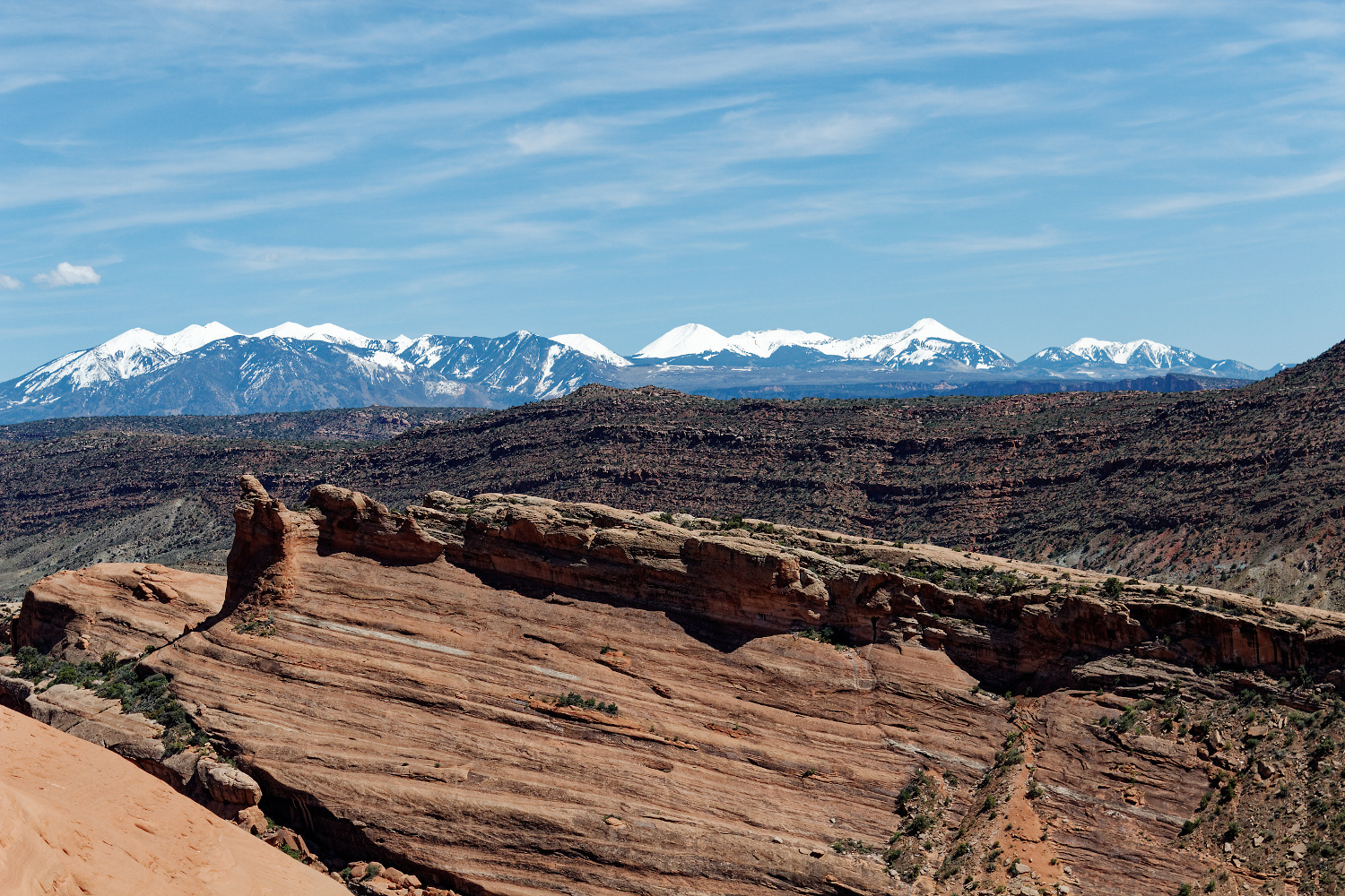
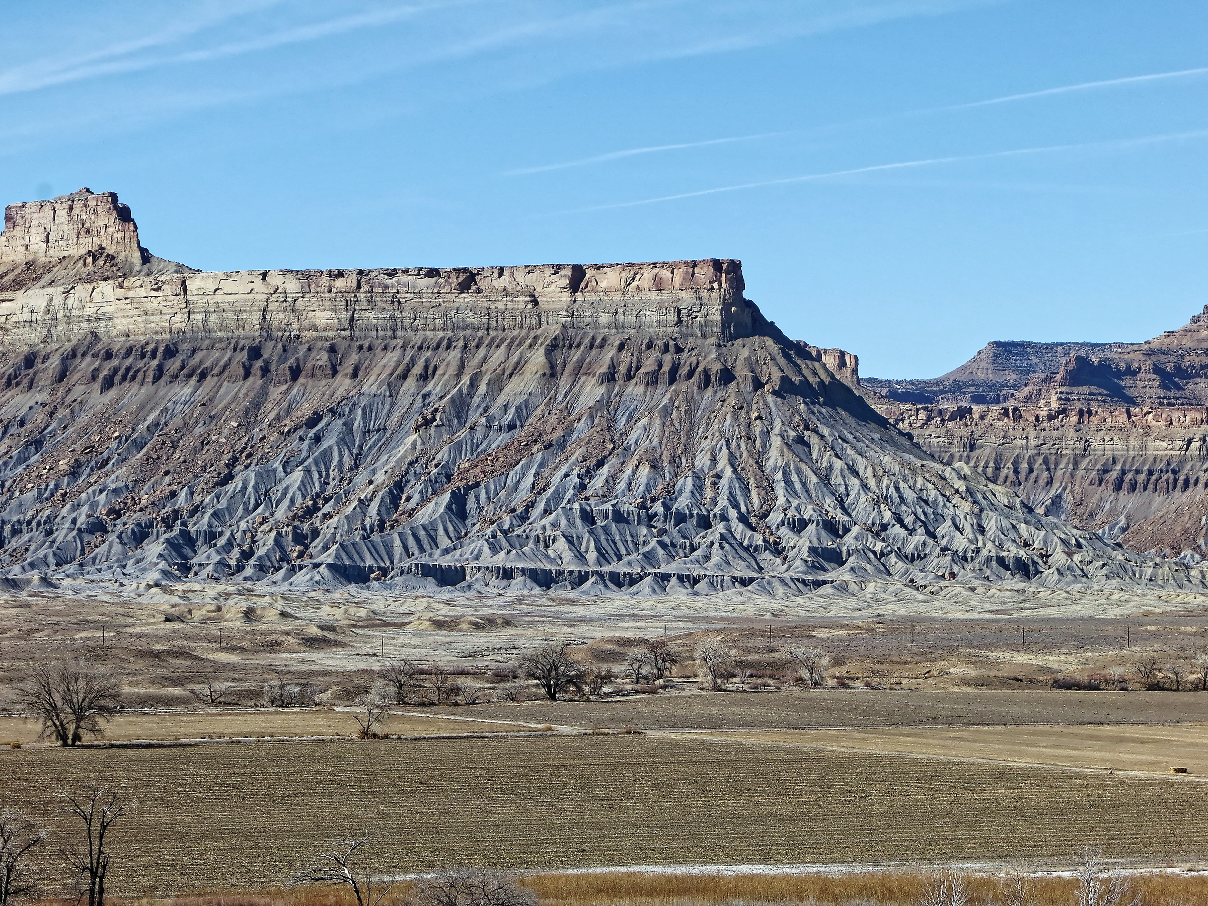
The course investigates world-class outcrops to introduce engineers to a wide spectrum of stratigraphic and structural features commonly found in exploration and production. An active learning technique encourages participants to make initial observations and interpretations before group discussions. Lectures and exercises provide awareness of reservoir architecture while outcrops demonstrate field- and reservoir-scale heterogeneities. Depositional environments studied include deltaic, eolian, fluvial, turbidites, tidal and coastal plain with emphasis placed on understanding flow characteristics (i.e. connectivity, Kv, Kv/Kh).

Duration and Logistics

7 days; a mix of classroom lectures (10%) and field exercises (90%). The course begins and ends in Grand Junction, Colorado, and visits outcrops in Utah and Colorado.

Level and Audience

Fundamental. The material is presented with minimal jargon so that engineers get the full benefit of the course.

Exertion Level

This class requires a MODERATE exertion level. Scrambling over rock outcrops and steep sections will be required, but most hikes would be considered moderate. The longest walk is approximately 4.8km (3.2 miles). Outcrops are at elevations of 1200–2500m (4000–8200 ft). Weather conditions in NW Colorado and eastern Utah can vary from warm and dry to cold and wet, with an early fall temperature range of 5–23°C (41–73°F). Transport will be in SUVs on black-top and unpaved roads.

Objectives

You will learn to:

  1. Appreciate the differences between a range of depositional settings, their facies and related reservoir architecture.
  2. Use geologic knowledge to reduce reservoirs into flow units.
  3. Gain a better understanding of major events that influence deposition and help to understand reservoir geometries and scale.
  4. Evaluate the impact of modeling stochastic properties versus organized trends.
  5. Understand the dangers of upscaling and if it makes geologic sense.
  6. Use detailed sector models to understand how to capture subtle variations in the geology.
  7. Appreciate how to use the geology to make upscaling decisions by building detailed sector models to understand the impact of upscaling decisions.

Clastic Reservoirs: Stratigraphic and Structural Heterogeneities that Impact Reservoir Performance, Colorado and Utah (G012)

Tutor(s)

Mike Boyles: Retired Shell Oil; Affiliate Faculty, Colorado School of Mines.

Overview

The course investigates world-class outcrops to introduce all subsurface disciplines to a wide spectrum of stratigraphic and structural features commonly found in exploration and production. An active learning technique encourages participants to make initial observations and interpretations before group discussions. Lectures and exercises provide an awareness of reservoir architecture in a variety of stratigraphic and structural settings while outcrops demonstrate field- and reservoir-scale structural heterogeneities. Depositional environments studied include deltaic, eolian, fluvial, turbidites, tidal, lacustrine and coastal plain. Emphasis is placed on understanding flow characteristics (i.e. connectivity, Kv, Kv/Kh). A practical approach to using sequence stratigraphic concepts is also presented.

Duration and Logistics

A 6-day field course comprising a mix of classroom lectures (10%) and field exercises (90%). The course begins and ends in Grand Junction, Colorado, and visits outcrops in Utah and Colorado.

Level and Audience

Fundamental. This course is presented with minimal jargon so that non-geoscientists, such as reservoir engineers and petrophysicists, get the full benefit of the course. However, it would be particularly suitable for geoscientists working on fluvial/deltaic exploration and production projects, to show how common stratigraphic and structural variations can impact reservoir performance.

Exertion Level

This class requires a MODERATE exertion level. Scrambling over rock outcrops and steep sections will be required, but most hikes would be considered moderate. The longest walk is approximately 4.8km (3.2 miles). Outcrops are at elevations of 1200–2500m (4000–8200 ft). Weather conditions in NW Colorado and eastern Utah can vary from warm and dry to cold and wet, with an early fall temperature range of 5–23°C (41–73°F). Transport will be in SUVs on black-top and unpaved roads.

Objectives

You will learn to:

  1. Divide subsurface reservoirs into flow units that capture key reservoir flow characteristics and heterogeneities at a variety of reservoir model scales.
  2. Communicate and discuss flow unit properties between subsurface team disciplines.
  3. Understand detailed facies analysis within deposits of wave dominated deltas, fluvial dominated deltas, fluvial systems, tidal / estuarine, eolian and turbidites.
  4. Recognition of key facies in cores and logs.
  5. Use key sequence stratigraphic concepts in a practical and predictive way.