Tutor(s)
Kate Giles: Lloyd A. Nelson Professor, University of Texas at El Paso; Consulting Geologist.
Overview
The primary technical goal is to provide a widely applicable introduction to the interrelationship between sedimentation and structural geology with a particular focus on salt tectonics and salt-sediment interaction. The geology is examined with reference to deepwater exploration themes with the Gulf of Mexico.
Duration and Logistics
A 4-day field course starting and finishing in Grand Junction, Colorado, comprising a mixture of lectures, field work and exercises.
Level and Audience
Intermediate. This course requires a basic understanding of geoscience and will suit those working in the geoscience, geotechnical and engineering fields. The aim is to facilitate knowledge and experience exchange among the participants, so is open to those from a very wide range of experience levels.
Exertion Level
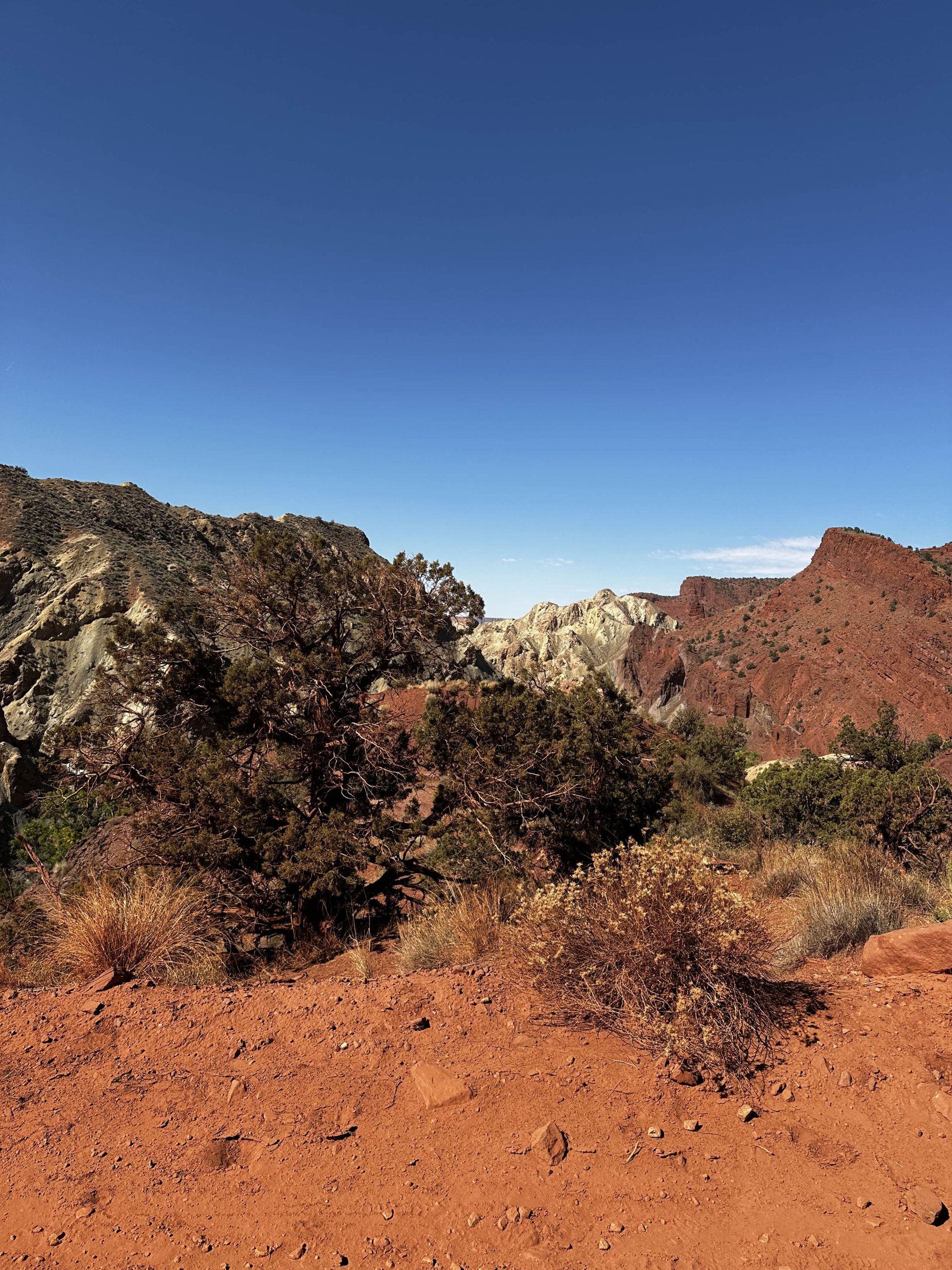
This course requires a MODERATE exertion level. There will be hikes to outcrops of up to 6.5km (4 miles) round trip. Some of these will encounter uneven and rocky ground with some short, steep inclines. The climate in southern Utah is typically warm to hot and dry with temperatures up to 37.5°C (100°F) and the elevation is between 1,250–1,500m (4,000–5,000 ft).
Objectives
You will learn to:
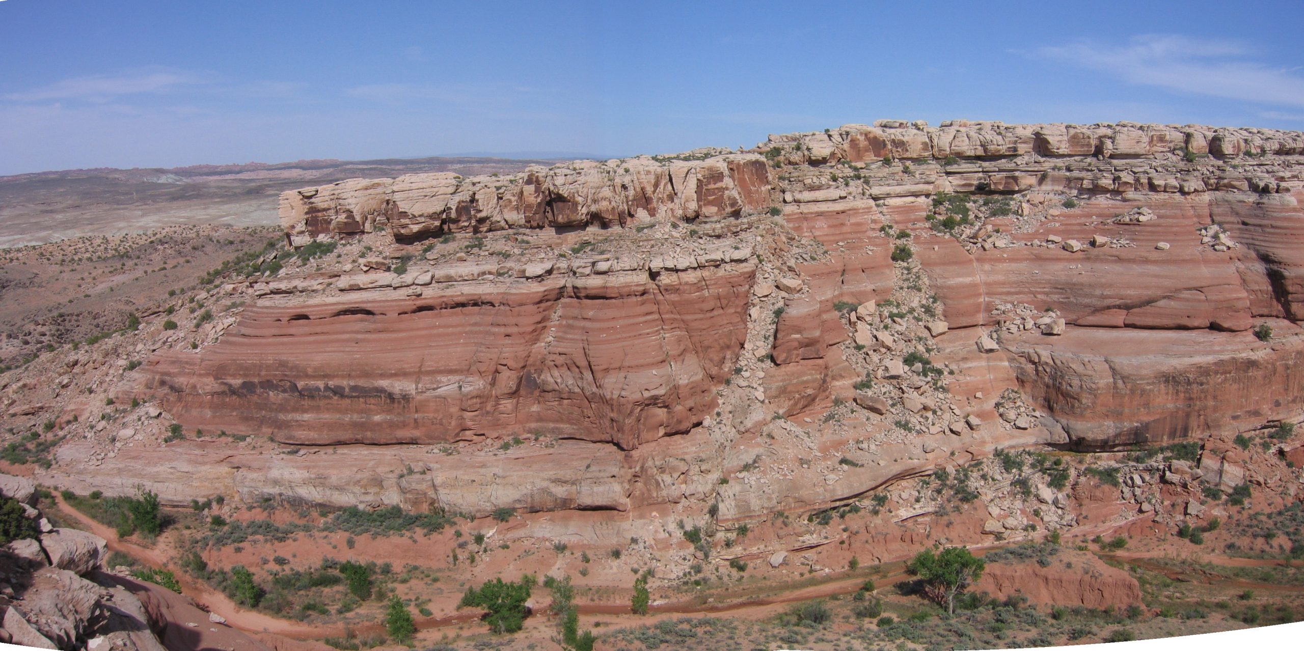
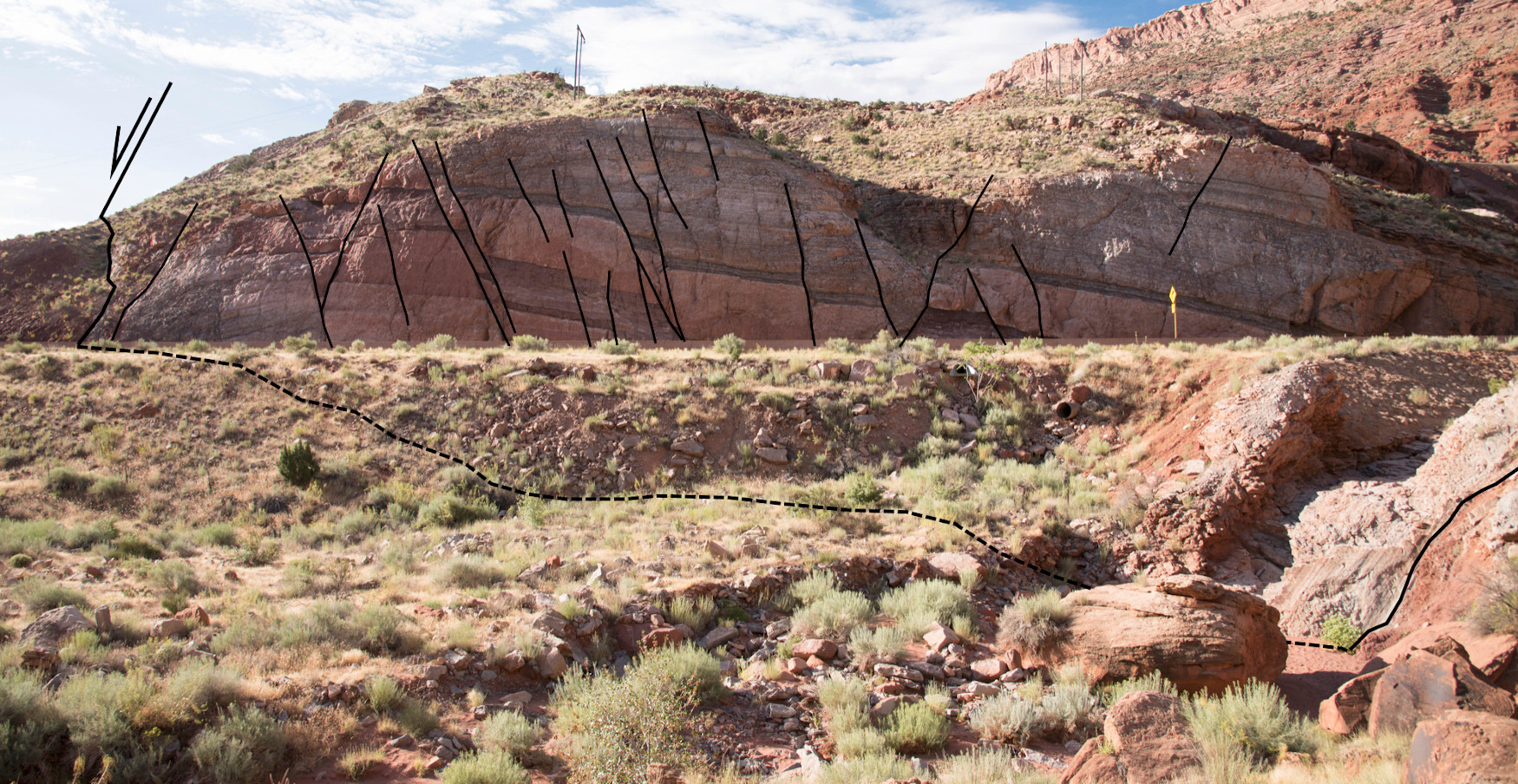
- Describe the regional stratigraphy and principal structural features of the Paradox Basin, Utah.
- Characterize and interpret controls on Paradox Basin salt-related structures and key features of passive diapiric systems, including halokinetic sequences, caprock development, non-evaporite stringers / inclusions, welds, megaflaps, counter-regional faults, radial faults and burial wedges.
- Examine stratal geometries and halokinetic sequences and how these relate to intervals of salt inflation / evacuation and sediment flux.
- Assess the controls on basin fill architecture, fluid flow and deformation within the Paradox Basin and compare this to analogous salt basins worldwide.
- Understand the importance of salt basins to the energy industry for hydrocarbon production.