Tutor(s)
Mark Bentley: TRACS International Consultancy and Langdale Geoscience.
Overview
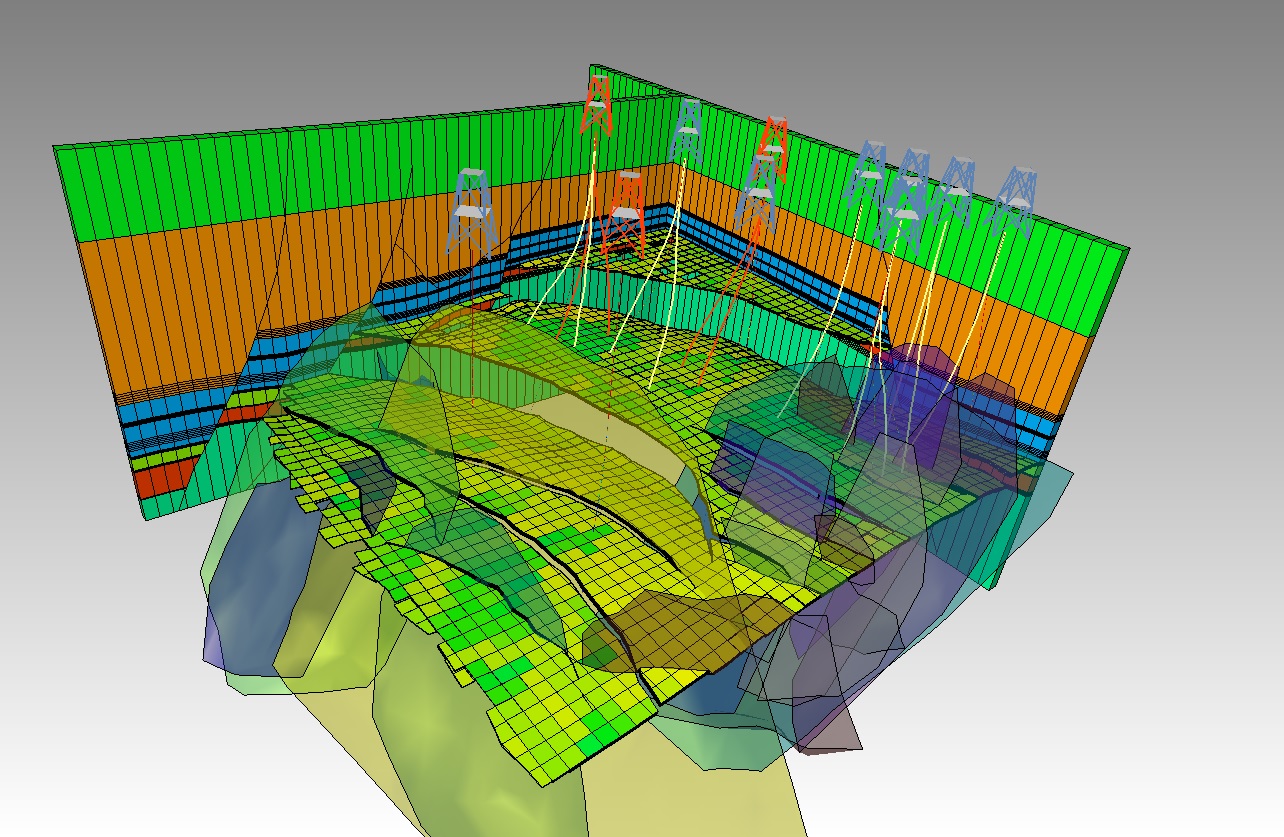
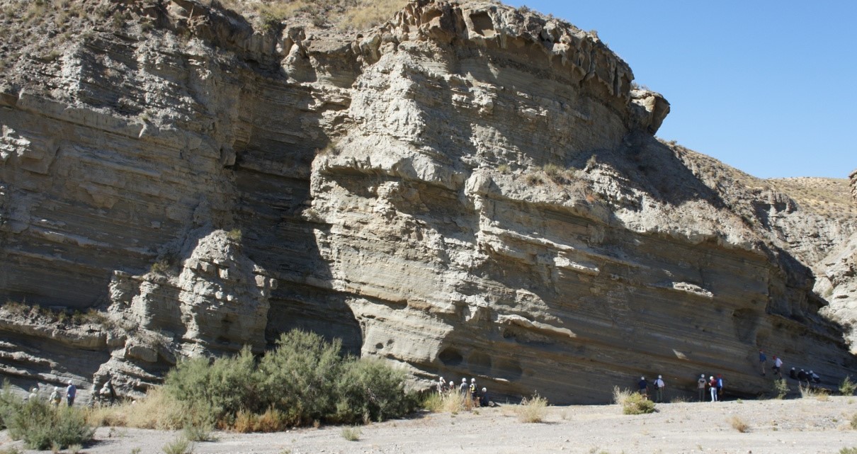
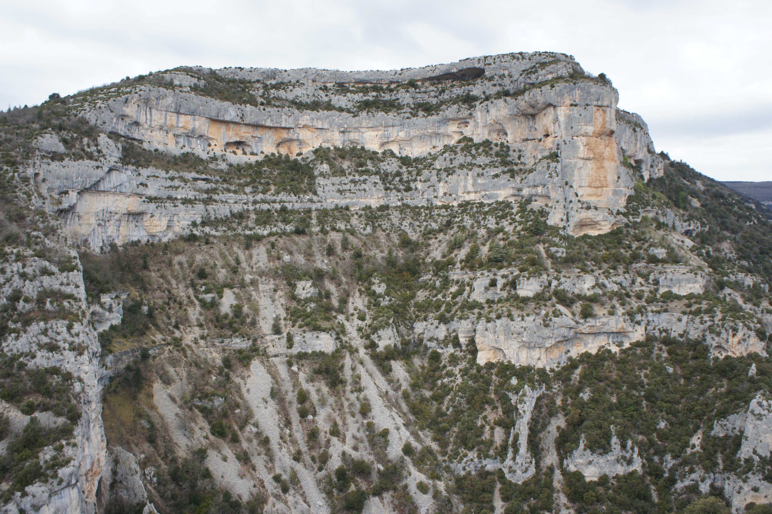
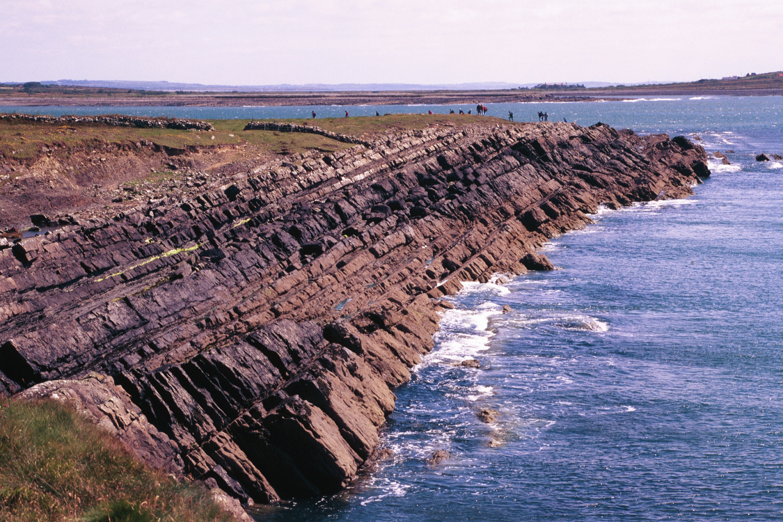
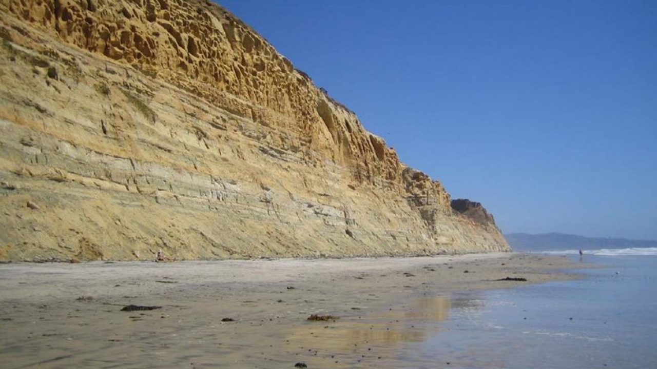
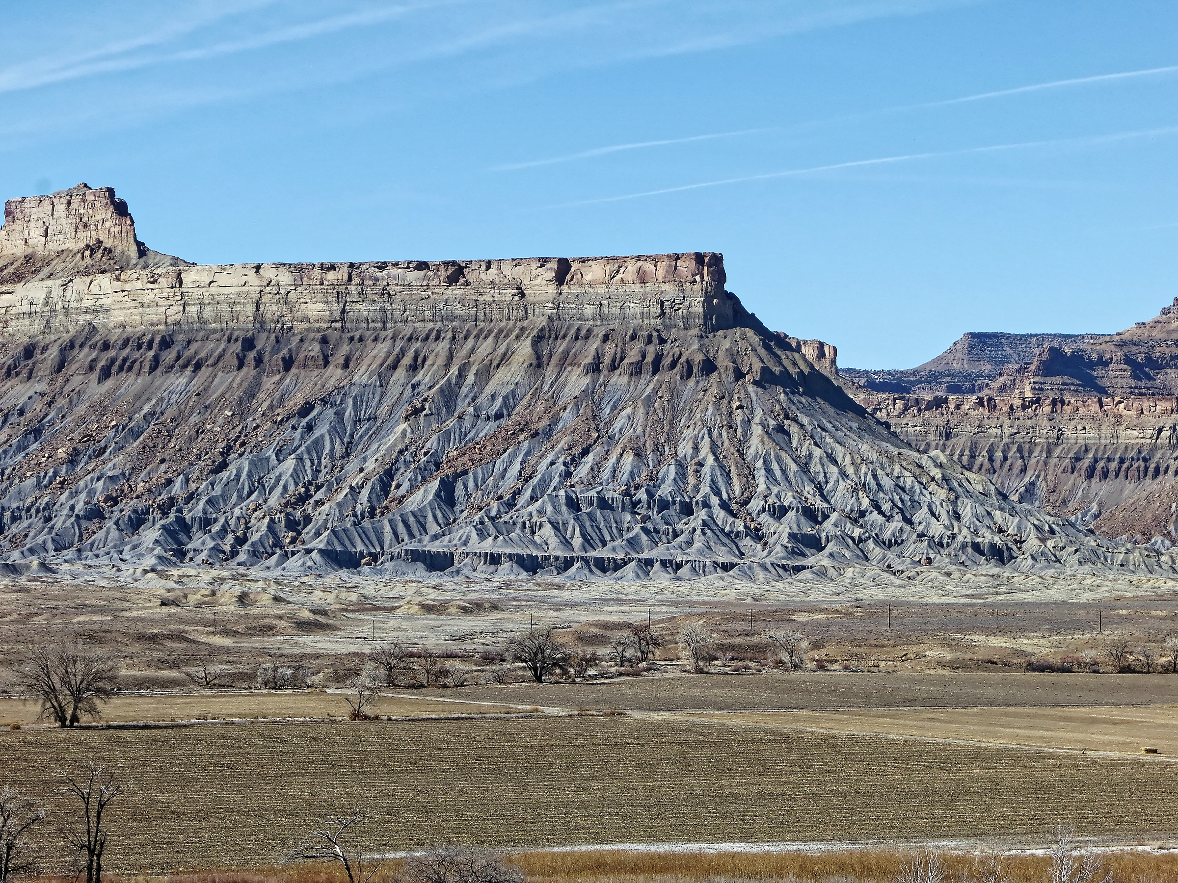
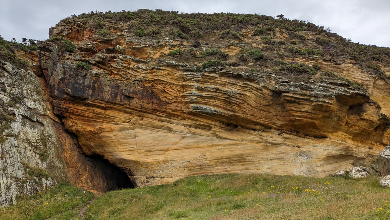
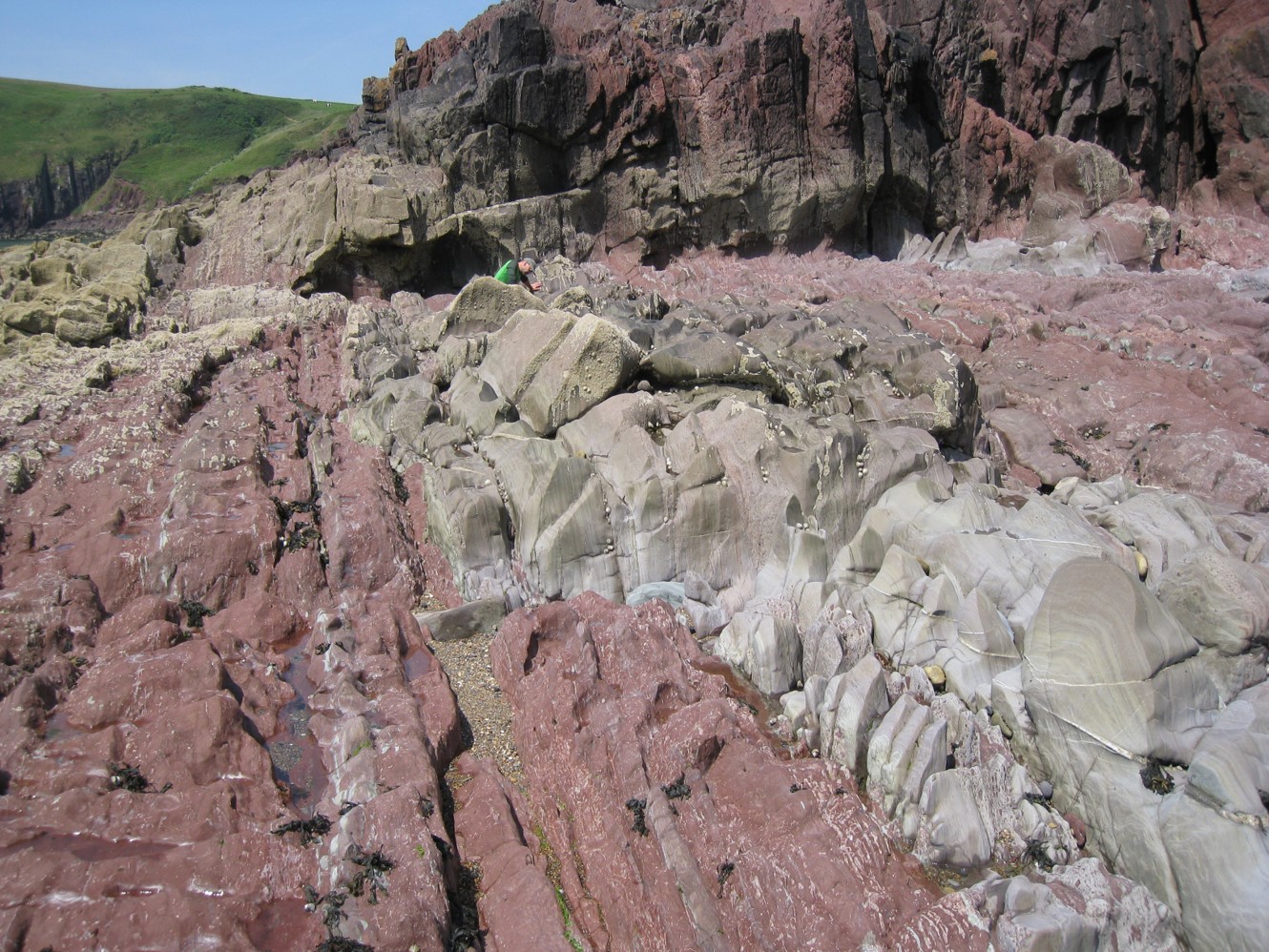
This course offers a software-independent view on the process of reservoir model design and simulation model-building, addresses the underlying reasons why some models disappoint and offers solutions that support the building of more efficient, fit-for-purpose models. The thread through the week is a model design for the notional ‘Pembroke Field’ – a synthetic field constructed from reservoir analogue outcrops in South Pembrokeshire. The Pembroke Field contains three contrasting reservoir types: continental clastics, shallow marine deltaics and naturally fractured carbonates, in both structurally deformed and undeformed settings. Data from producing oil and gas fields has been scaled to the synthetic models to create a realistic hydrocarbon field accumulation, ready for development.
Objectives
You will learn to:
- Create a fluid-sensitive conceptual model for a heterogeneous reservoir, built from a selection of elements and placed in a realistic architectural framework: the “sketch”.
- Guide the use of geostatistical tools intuitively, balancing deterministic and probabilistic components with awareness of the limits of the tools.
- Select appropriate methods for modeling of matrix properties, including the handling of net (cut-off’s vs total property modeling).
- Evaluate options for multi-scale modelling and the possible need for multi-scale approaches based on hierarchical understanding of Representative Elementary Volumes (REV).
- Understand issues surrounding permeability modeling and why this differs from the handling of other properties.
- Learn a rule of thumb (“Flora’s rule”) to help assess what level of static model detail matters to flow modeling and forecasting.
- Review how to use well test analysis to constrain models.
- Review options for model-based uncertainty handling (base case led, multi-deterministic scenarios, multi-stochastic ensembles), learn how to post-process the results and how to select an appropriate workflow which minimizes impact of behavioral bias.
Exertion Level
This class requires an EASY exertion level. Field stops require short walks along coastal paths, beaches and wave cut platforms. The longest walk is <5km (3 miles). Field stops are all at approximately sea level and some are tide dependent. Transport will be by coach.This class requires an EASY exertion level. Field stops require short walks along coastal paths, beaches and wave cut platforms. The longest walk is <5km (3 miles). Field stops are all at approximately sea level and some are tide dependent. Transport will be by coach.
Level and Audience
Intermediate. The course is aimed at geoscientists with knowledge of reservoir modeling software, petrophysicists who provide input to static reservoir models and reservoir engineers involved in simulation work who deal with the static-dynamic interface on a regular basis. The course is also of benefit to team leaders who wish to have a deeper understanding of the principles behind modeling and how to QC models made by others.
Duration and Logistics
7 days; a mix of field work (70%), and classroom exercises (30%).