World-class training for the modern energy industry

Understanding Seismic Data: Time, Depth and Geology (G082)

Tutor(s)

David Kessler: President, SeismicCity Inc.

Ron Kerr: Seismic Processing Consultant.

John Byrd: President, ByrdGEO; Adjunct Professor of Geology, University of Utah.

Overview

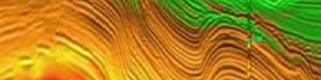
This course is designed to provide seismic interpreters, managers, geophysicists and geologists with a broad understanding of seismic imaging and processing. Emphasis will be placed on an understanding of industrial methods and workflows, differentiation of signal from artifacts, and connecting seismic data to geological settings for prospect evaluation and generation. The limited amount of quantitative seismic theory that is included is linked to the fundamentals of seismic data acquisition and processing, imaging, model building and interpretation through the incorporation of case studies. The eight course sessions continually build on the material from previous sessions and are tied to the underlying geology.

Duration and Logistics

A 4-day in-person classroom course, consisting of lectures and exercises. A digital manual will be provided for the course.

Level and Audience

Intermediate. The course is intended for seismic interpreters and geologists involved in the use and evaluation of seismic data.

Objectives

You will learn to:

  1. Outline the principal strengths and limitations of depth imaging.
  2. Assess the uncertainties of depth imaging and strategies to reduce these.
  3. Establish the fundamentals of marine- and land-based seismic from acquisition to pre-processing.
  4. Examine the processing steps leading to post- and pre-stack time migration, and post-stack depth migration.
  5. Evaluate various migration parameters used in the application of pre-stack depth migration and how they affect the PSDM image.
  6. Gauge the accuracy of time to depth conversion by application of pre-stack depth migration, as well as seismic to well tie and residual depth correction.
  7. Demonstrate the fundamental differences between depth and time migration and the improved imaging results when depth migration is utilized to resolve lateral velocity variations.
  8. Evaluate the link between the pre-stack depth image and the underlying geological settings.
  9. Analyze the complex structural geometries associated with salt tectonics and their significant associated imaging challenges.
  10. Differentiate signal from artifacts.
  11. Assess the construction of geological models utilizing our common understanding of velocity estimation, anisotropic parameters and different geologic settings.
  12. Connect seismic data to geological settings for prospect evaluation and generation.
Carbonate Depositional Systems: Reservoir Sedimentology and Diagenesis (G105)

Tutor(s)

Paul Wright: Independent Consultant.

Overview

This course is aimed at those with little or no previous experience with carbonate rocks as reservoirs or aquifers. A broad introduction to carbonate systems is presented, with multiple case examples interspersed throughout the course, in order to illustrate the different types of carbonate deposition, stratigraphy and diagenesis. Besides reviewing the essential components and origins of such rocks, it also illustrates how key characteristics are identified from seismic data and the issues relating to flow behaviour. Participants will attain a broad understanding of carbonate rocks – their components, depositional models and diagenetic variation – to better assist in the prediction of carbonate reservoirs from seismic to pore scale.

Duration and Logistics

Classroom: A 4.5-day in-person classroom course. Digital course notes and exercise materials will be distributed to participants before the course.

Virtual version: Nine 3.5-hour interactive online sessions. Digital course notes and exercise materials will be distributed to participants before the course.

Level and Audience

Fundamental. The course is intended for geoscientists (geologists and geophysicists) and petroleum engineers with little or no experience of carbonate reservoirs.

Objectives

You will learn to:

  1. Understand and describe the principal carbonate sediment components and systems of carbonate classification.
  2. Describe the primary controls on carbonate deposition temporally and spatially, and discuss the contrasts between the controls on siliciclastic deposition.
  3. Describe the main types of carbonate platform, their variability, scale, main seismic features and distribution of likely reservoir units.
  4. Demonstrate sequence stratigraphic aspects of carbonate build-ups, their differing response to SL change compared to clastic sediments and discuss their seismic characters.
  5. Review principal types of likely reservoir facies (platform interior, carbonate sands, reefs, slope systems and chalks), their recognition, architecture, sequence stratigraphy and porosity types.
  6. Identify the diverse pore types in carbonates and how these relate to reservoir quality.
  7. Understand how the development of primary and secondary porosity has varied through geological time and how these changes impact reservoir quality.
  8. Explain how the variety of diagenetic environments affects primary and secondary porosity in carbonate rocks and understand the implications for reservoir quality.
  9. Understand the uses of the main techniques for deciphering diagenetic sequences in carbonates.
  10. Discuss the principal modes of formation of dolomites and the predictive uses of different dolomite models.
  11. Understand the diverse origins of palaeokarstic macroporosity, its subsurface recognition, and different strategies for developing palaeokarstic systems for geothermal energy and hydrocarbon reservoirs.

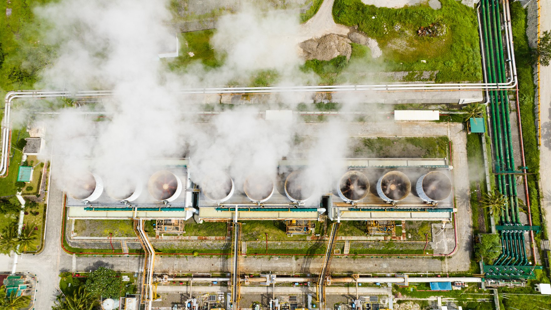
Geothermal Sedimentary Systems: Exploration, Development and Production Principles (G574)

Tutor(s)

Mark Ireland: Senior Lecturer in Energy Geoscience, Newcastle University.

Overview

This course covers all aspects of various sedimentary geothermal systems, from exploration through to production. It is intended as an introduction to the entire lifecycle of sedimentary geothermal resources, covering aspects of geoscience and engineering.

Duration and Logistics

Classroom version: A two-day classroom course comprising a mixture of lectures and exercises. The course manual will be provided in digital format.

Virtual version: Four 3.5-hour interactive online sessions presented over 4 days. A digital manual and exercise materials will be distributed to participants before the course.

Level and Audience

Fundamental. The course is intended for all career stage industry professionals and early career researchers with a geoscience or geo-engineering background, including those with a familiarity in oil and gas production.

Objectives

You will learn to:

  1. Understand the basic principles of heat generation within the upper crust.
  2. Describe the key characteristics of sedimentary geothermal resources and reservoirs.
  3. Examine the geothermal play concept.
  4. Establish exploration methods using oil and gas data to assess geothermal resources in sedimentary basins.
  5. Illustrate the development and production options for these geothermal resources.
  6. Appreciate the principle geological hazards, in relation to geothermal projects, including induced seismicity.
  7. Appreciate the range of environmental impacts associated with geothermal developments.
  8. Appreciate project risks and uncertainties in developing geothermal resources.

Integration of Rocks and Petrophysical Logs (G059)

Tutor(s)

Greg Samways: Director, Geolumina.

Overview

This course will focus on a simple petrophysical workflow entailing the determination of rock properties from conventional logs and core analysis data. Lithology, porosity, permeability and saturations will be determined using a variety of different analytical and simple modelling methods. Emphasis will be placed on understanding the importance of calibration, integration, and validation of the results of each method, based on a fundamental understanding of the geological controls on petrophysical properties.

Duration and Logistics

Classroom version: 3-days with a mix of lectures and exercises. The manual will be provided in digital format and participants will be required to bring a laptop or tablet computer to follow the lectures and exercises.

Virtual version: Five, 3.5-hour interactive online sessions presented over 5 days. The course will focus on problem-solving using real-world data and use a series of Excel workbooks. A digital manual and exercise materials will be distributed to participants before the course.

Level and Audience

Fundamental. This course is intended for non-petrophysicists who require a grounding in the petrophysical determination of lithology, porosity and saturation from conventional and special core analysis, and conventional open-hole logs.

Objectives

You will learn to:

  1. Understand the fundamental geological controls on reservoir properties.
  2. Describe how these properties are measured in the laboratory using conventional and special core analysis methods.
  3. Characterize the ways in which lithology and porosity are determined from well logs and calibrated with core analysis, and how permeability may be estimated in the subsurface away from core control.
  4. Evaluate how the Archie equation is used to determine saturation in cores and from well logs, and the uncertainties and limitations with this method
  5. Investigate how saturation-height models can be created from special core analysis data, thereby avoiding some of the limitations of the Archie method.
  6. Interpret typical conventional log and core analysis data using Excel spreadsheets.
  7. Experiment with the sensitivities of input parameters for various determinations, such as V-Shale, porosity and saturation.

Essential Data Science for Subsurface Geoscientists and Engineers (G065)

Tutor(s)

David Psaila: Director of Data Science for the Digital Subsurface, Analytic Signal Limited.

Overview

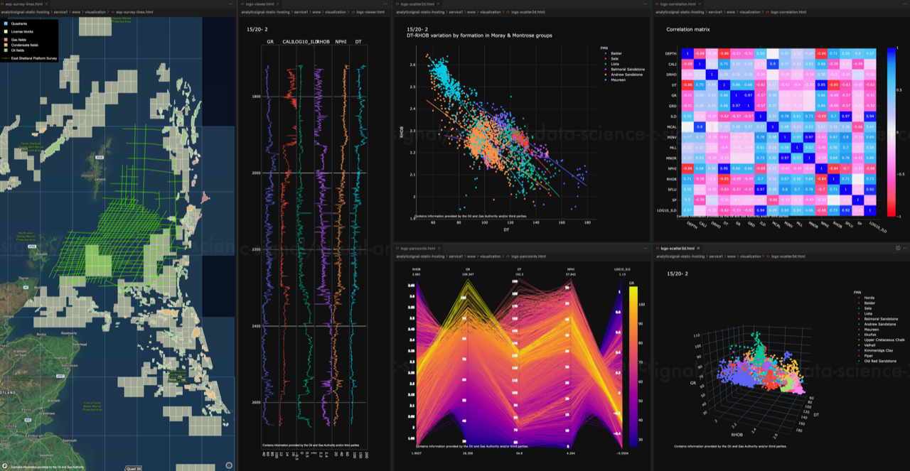
Interest in data science and machine learning is rapidly expanding, offering the promise of increased efficiency in E&P, and holding the potential to analyse and extract value from vast amounts of under-utilised legacy data. Combined with petroleum geoscience and engineering domain knowledge, the key elements underlying the successful application of the technology are: data, code, and algorithms. This course builds on public datasets, code examples written in Python, statistical graphics, and algorithms from popular data science packages to provide a practical introduction to the subject and its application in the E&P domain.

Duration and Logistics

Classroom version: 5 days consisting of lectures and computer-based exercises and practicals.

Virtual version: Ten, 3-hour online sessions presented over 5 days. The course is at an introductory level and all subject matter will be taught from scratch. No prior experience of statistics, Python coding or machine learning is required, although some basic college level knowledge of maths and statistics is useful. Hands-on computer workshops form a significant part of this course, and participants must come equipped with a laptop computer running Windows (8, 10, 11) or MacOS (10.10 or above) with sufficient free storage (4 Gb). Detailed installation instructions are provided in advance so that participants can set up their computer with the data science toolkit and course materials before the course starts.

Level and Audience

Fundamental. This is an introductory course for reservoir geologists, reservoir geophysicists, reservoir engineers, data management, and technical staff who want to learn the key concepts of data science.

Objectives

You will learn to:

  1. Analyse project data using the data science toolkit; notebooks, visualization, and communication.
  2. Perform data import and manipulation, data visualization, exploratory data analysis, and building predictive models from data.
  3. Have a working knowledge of coding in Python.
  4. Coordinate reference systems including geographic and projected coordinate systems.
  5. Use the fundamentals of machine learning including background concepts, the different types of machine learning, and the basic workflow to build and evaluate models from data.

An Introduction to Sequence Stratigraphy (G068)

Tutor(s)

Gary Hampson: Professor of Sedimentary Geology, Imperial College London.

Overview

Sequence stratigraphy is a key tool for subsurface interpretation of depositional systems and thereby predicting the distribution of reservoir, source rock and seal lithologies. The course will introduce the principles and methods of sequence stratigraphy, with a focus on continental, shallow-marine and deep-marine depositional settings. Participants will apply these principles and methods via the sequence stratigraphic interpretation of subsurface data (e.g. seismic, well-log, core, reservoir production data).

Duration and Logistics

Classroom version: 2 days including a mix of lectures and exercises. The course manual will be provided in digital format and participants will be required to bring along a laptop or tablet to follow the lectures and exercises.

Virtual version: Three 3.5-hour interactive online sessions presented over 3 days. A digital manual will be distributed to participants before the course.

Level and Audience

Fundamental. This course is designed for junior geoscientists working on a variety of subsurface energy projects who want to gain a basic understanding of sequence stratigraphy and its applications to subsurface data sets. Participants should have knowledge of basic sedimentology and subsurface geology.

Objectives

You will learn to:

  1. Understand the basic terminology of sequence stratigraphy.
  2. Describe the key surfaces and systems tracts.
  3. Appreciate the main components of depositional sequences in continental, shallow-marine and deep-marine systems.
  4. Evaluate a range of subsurface data in terms of sequence stratigraphic methods and models.

Introduction to Clastic Facies (G073)

Tutor(s)

Howard Feldman: Consultant Geologist, Feldman Geosciences LLC; Affiliate Faculty, Department of Geosciences, Colorado State University.

Overview

This course provides an introduction to siliciclastic facies in all aqueous settings, focusing on sand deposition for application to conventional reservoirs. The course begins with an overview of sedimentary structures and their recognition in outcrop and core. Observations of sedimentary structures and facies stacking patterns are then used to interpret depositional environments and make predictions about sand body geometry, size, and compartmentalization. The course makes extensive use of large-format (50% scale) core photos and outcrop photopans from a wide range of environments. Subsurface data sets, including seismic and well logs, are used to illustrate the application of these concepts to subsurface mapping. We will also cover an introduction to core description workflows.

Duration and Logistics

Classroom version: A 2-day course comprising a mix of lectures and exercises. The manual will be provided in digital format and participants will be required to bring a laptop or tablet computer to follow the lectures and exercises.

Virtual version: Four 3-hour interactive online sessions presented over 4 days. Digital course notes and exercise materials will be distributed to participants before the course.

Level and Audience

Fundamental. The course is intended for subsurface geoscientists who would like an introduction to siliciclastic facies and their interpretation from core, well logs and seismic. There is no assumption of previous knowledge of clastic systems, and simple concepts are built up into sophisticated depositional models. Skills are built through a series of exercises using outcrop photopans, high-resolution core photos, well logs and seismic. There is abundant opportunity for interaction.

Objectives

You will learn to:

  1. Interpret basic depositional models of siliciclastic systems with a focus on sandy facies, and prediction away from control at a range of scales.
  2. Collect basic observations from core that can be used to constrain depositional models.
  3. Integrate cores, well logs and seismic, in order to make predictions about the distribution of reservoir, source and seal.
  4. Interpret genetic stratigraphic units in core, well logs and seismic.

Workshop on the Seismic Expression of Carbonates (G080)

Tutor(s)

Gene Rankey: Professor, University of Kansas.

Overview

The aim of this course is to provide a general overview of the basic principles of carbonate systems and their expression in seismic data, and to demonstrate its utility for exploration and production. The course will include conceptual models, practical hands-on exercises, and demonstrations of the utility of seismic data and derived products. Key examples will illustrate how seismic stratigraphy and seismic attribute analysis can be used to assess reservoir fairways, subdivide a reservoir, constrain reservoir models, and generate high-resolution, geologically constrained predictions of reservoir systems. An important part of this course will be to draw attention to unique aspects of carbonates and how they might differ from siliciclastic from pore to basin scales.

Objectives

You will learn to:

  1. Establish a working knowledge of carbonate sediment and depositional systems.
  2. Assess carbonate seismic attributes, their general classes, and situations in which different types of attributes are most appropriate.
  3. Evaluate quantitative applications of seismic attributes to map seismic facies and porosity in carbonate reservoirs.
  4. Recognize the expression of carbonates in three-dimensions, how these patterns reflect dynamic stratigraphic evolution, and how these patterns can be related to reservoir trends.
  5. Identify the variation and controls on carbonate reservoir architecture in different system tracts.
  6. Appreciate how carbonate petrophysics influences the seismic response of carbonates.
  7. Appraise the different types of carbonate platform on seismic data and assess the presence of key seismic facies.
  8. Illustrate the seismic geometries of carbonate ramps and rimmed shelves and their possible reservoir character.

Level and Audience

Intermediate. The course is aimed at geologists and geophysicists working on carbonate exploration and production projects. No prior knowledge of carbonates is assumed but participants should have some background in the geosciences.

Duration and Logistics

Classroom version: 2 day classroom course comprising presentations, exercises and case studies. Course notes and exercise materials will be distributed to participants during the course. The manual will be provided in digital format and participants will be required to bring a laptop or tablet computer to follow the lectures and exercises

Virtual version: Four 3.5-hour interactive online sessions presented over four days. Digital course notes and exercise materials will be distributed to participants before the course. Some exercises may be completed by participants off-line.

Onshore Seismic Processing and Imaging (G081)

Tutor(s)

Ron Kerr: Seismic Processing Consultant.

David Kessler: President, SeismicCity Inc.

Overview

This course will introduce the fundamentals of land seismic acquisition including receiver types and their spectrum indication. Land-based seismic data presents unique challenges, and the course will subsequently follow the processes after acquisition to include all the main processing steps of a modern land 3D dataset.

Duration and Logistics

Fundamental. Intended for geoscientists who work with seismic data and are also required to understand land seismic acquisition and processing projects and work with imaging professionals.

Level and Audience

Classroom version: A 2-day classroom course day including a mix of lectures and exercises. The manual will be provided in digital format and participants will be required to bring a laptop or tablet computer to follow the lectures and exercises.

Virtual version: Four 3.5-hour interactive online sessions presented over four days. Digital course notes and exercise materials will be distributed to participants before the course. Some exercises may be completed by participants off-line.

Objectives

You will learn to:

  1. List common onshore seismic source and receiver types and their spectrum indication.
  2. Describe source/receiver line spacing & intervals and their relationship to acquisition footprints and seismic resolution.
  3. Have a clear picture of main processing steps affecting phase and amplitude and understand the concepts of surface-consistency.
  4. Explain in plain language how FWI works and the key factors to velocity model building.
  5. List the types of data used in data processing.
  6. Identify the main components of the seismic wavefield and what they are used for.
  7. Describe the main collections/domains for manipulating seismic data.
  8. Explain the main steps in a processing sequence.
  9. List the main types of noise and describe attenuation methods for these.
  10. Describe the various velocities used in seismic and how to access them.
  11. Identify multiples and explain methods to attenuate them.
  12. Discuss the need for regularization.
  13. Describe the migration process and list the difference between Time/Depth Migrations.

Geological Controls on Production in Unconventional Reservoirs (G052)

Tutor(s)

Bruce Hart: Freelance Geologist and Adjunct Professor at Western University, Ontario.

Overview

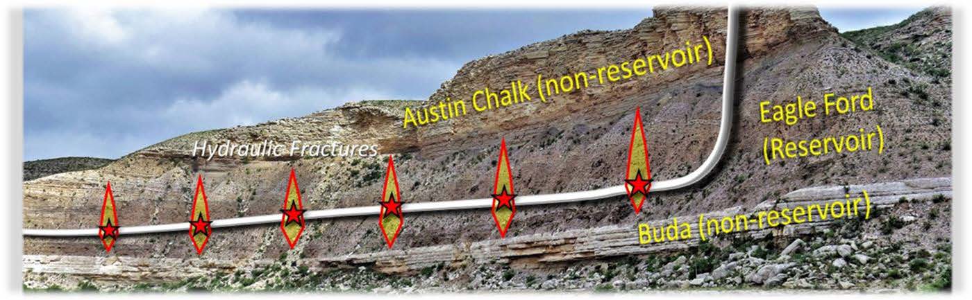
This course classifies unconventional reservoirs from a petroleum systems perspective and leads participants through how depositional controls on reservoir architecture and mechanical stratigraphy affect development strategies.

Duration and Logistics

Classroom version: 3 days; a mix of lectures exercises. The manual will be provided in digital format and participants will be required to bring a laptop or tablet computer to follow the lectures and exercises.

Virtual version: Four 4-hour interactive online sessions presented over 4 days. A digital manual and exercise materials will be distributed to participants before the course.

Level and Audience

Fundamental. Intended for subsurface professionals (geologists, geochemists, geophysicists, reservoir-, completion- and drilling engineers) who have some working knowledge of unconventional reservoirs but are looking to understand how multi-disciplinary integration can improve exploration and development decisions.

Objectives

You will learn to:

  1. Describe unconventional reservoirs based on all parts of their petroleum system’s character, and use that knowledge in a predictive way at all steps from exploration to development
  2. Maximize the benefit of common tools for unconventional reservoir characterization.
  3. Define stratigraphic and structural controls on development strategies: landing-zone definition, horizontal vs vertical wells
  4. Develop a common language that can be used to facilitate information exchange between various engineering and geoscience subdisciplines.